Weighted Sum Raster Overlay Analysis using QGIS

[vc_row margintop="0" marginbottom="15" paddingtop="0" paddingbottom="0" bg_color="#ffffff" bg_repeat="repeat" bg_stretch="no" en_border="no" border_color="#e8e8e8"][vc_column][vc_column_text] In this tutorial I will talk about the weighted sum overlay analysis in QGIS. Weighted sum overlay is usually done for the…

17 Comments

Mapping of 2015 Global 500 – Fortune Companies

[vc_row margintop="0" marginbottom="15" paddingtop="0" paddingbottom="0" bg_color="#ffffff" bg_repeat="repeat" bg_stretch="no" en_border="no" border_color="#e8e8e8"][vc_column][vc_column_text] Year 2015 Global 500 - Fortune list is published, it will be great to see how many countries are in the…

4 Comments

Quick and easy to create Map – Learn basics about the QGIS

[vc_row layout="normal" margintop="0" marginbottom="15" paddingtop="0" paddingbottom="0" bg_color="#ffffff" bg_repeat="repeat" bg_stretch="no" en_border="no" border_color="#e8e8e8"][vc_column width="1/1"][vc_column_text]Table of Contents: 1. QGIS installation 2. QGIS Interface 3. Setting up Spatial Reference System 4. Adding vector data,…

5 Comments

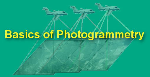
Know Basics about Photogrammetry Quickly and Become Expert

[vc_row layout="normal" margintop="0" marginbottom="15" paddingtop="0" paddingbottom="0" bg_color="#ffffff" bg_repeat="repeat" bg_stretch="no" en_border="no" border_color="#e8e8e8"][vc_column width="1/1"][vc_column_text]1. Introduction to Photogrammetry 1.1 History of Photogrammetry 1.2 Development Cycles of the Photogrammetry 1.3 Application of Photogrammetry 1.4…

6 Comments

67 Important GIS Applications and Uses

[vc_row][vc_column][vc_column_text] 1. GIS in Mapping: Mapping is a central function of Geographic Information System, which provides a visual interpretation of data. GIS store data in database and then represent it visually in a…

95 Comments
Close Menu