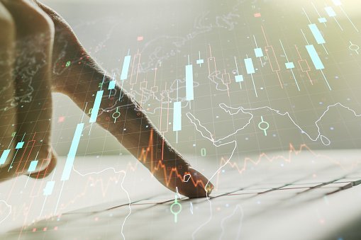
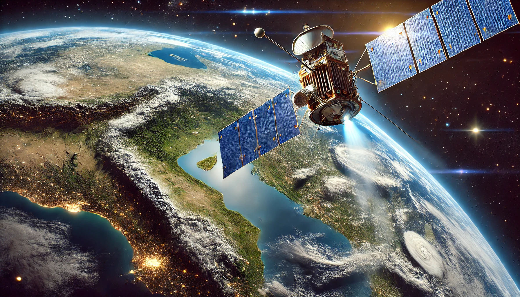
Top 6 Benefits of GIS Utility Mapping Service
The absence of a suitable online platform can seem daunting when dealing with map data. Nevertheless, armed with the right technology – in this case, Geographic Information System (GIS) software…
As its name suggests, thematic maps illustrate the relationships between themes (subject) and the selected area. It shows a specific topic's spatial distribution and geographical patterns (themes). Before producing these…
Soil is one of the most crucial components of the environment. Scientists and geographers use various tools and techniques to study and analyze the soil. Cartographers and agriculturists rely on…
Karnaugh map is a technique or method in mathematics that is used to simplify Boolean algebra. The technique is a visual method used to simplify Boolean expressions pictorially. Therefore, a…
LiDAR is one of the current trends and fast-growing technology in Civil Engineering. Fundamentally, the knowledge of LiDAR is beneficial in improving the quality and productivity of any given project.…
LiDAR is a method for determining series by targeting a surface with a laser and measuring the time taken for the reflected light to return to the receiver. Lidar is…
Other than Earth's maps, did you know there are human's maps? Genome maps, also known as genetic maps, are maps used to locate and identify the position of genes on…
Cartography is the art of graphically representing areas or locations on a map. It involves the scientific and artistic elements in combining the geographical locations and analyzing the positional relationships,…
Remote sensing is the application of unique cameras to detect and evaluate the characteristics of a given area by measuring the emitted radiation. In drought management, cameras on satellites and…
Cadastral Maps are the type of maps that contains cadastre data. The cadastral data is usually the information on the part of the earth. Therefore, these maps are useful in…