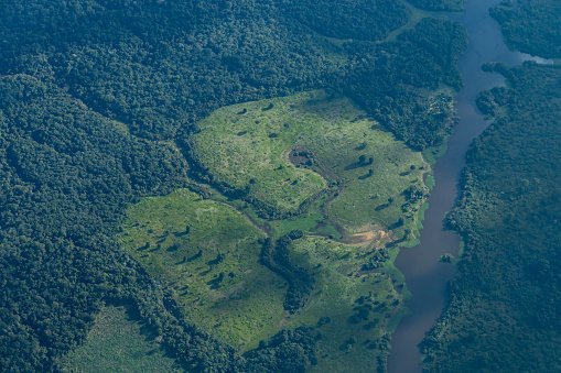
Light Detention and Ranging (Lidar) is a detention system that uses lasers to examine the earth’s surface. It uses airborne tools to examine to collect spatial information. The technology uses laser lights sent from a transmitter, and the object in the scene reflects the light. The reflected is detected and analyzed, thus providing information required to measure features. In agriculture, the Lidar technology has vast applications. Now let’s discuss some of the common applications of Lidar in the agriculture industry.
1. Soil Analysis
In agriculture, determining the type and quality of soil is important. The Lidar technology helps determine the type and content of the soil. The spatial data collected using this technology is rich in agricultural information. The data can define the selected soil’s nature, quality, and content.
2. Agriculture Forecasting
Agriculture work hand-in-hand with soil mapping. Soil mapping employs other technological tools to achieve its goal. One of the technological tools used in soil mapping is the Lidar Technology. This soil technique helps analyze the fertility and the conditions surrounding the land. Farmers and other agriculturists rely on LIDAR tools when deciding the best agricultural practices areas. As a bonus, we can use Lidar technology to forecast farm yields. When used in this context, the technology helps analyze the fertility nature of the different soils. The fertility report generated from soil maps forecasts the farm yields of the soil in question.
3. Determining Crop damage
In the event of a natural calamity, crops are likely to be affected. In such events, farmers must determine the extent of damage caused to the crops. LiDAR technology can play a vital role in determining the damages caused to plants. Since the technology uses airborne tools, it can ease the process of analyzing the crops over a large piece of land and offers accurate spatial information.
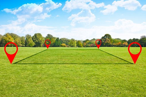
4. Determining land use
LiDAR technology can be used in land planning and management. The spatial data collected through this technology is useful in analyzing land suitability for a given crop. In addition, it allows farmers to plan their farming schedule.
5. Crop Analysis
Crop analysis involves analyzing the relationship between the crop and the environment. The LiDAR technology can determine a crop’s suitability to thrive in a given area. It estimates the effects of environmental factors on the crop, and thus it can be used to estimate crop quality.
6. 3D Terrain Modelling
LiDAR technology helps develop soil maps and other 3D models. The LiDAR technology employs airborne tools to collect vast and accurate spatial data. Cartographers rely upon the collected data to develop soil maps and terrain models.
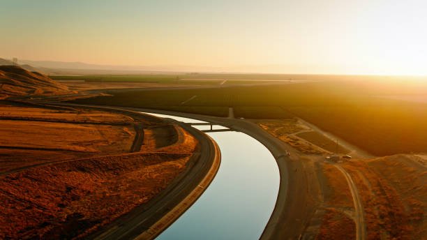
7. Improving irrigation
The LiDAR technology can be used to detect water sources and areas with underground water. Therefore, this technology’s information can help farmers locate new water sources.
8. Plant categorization
Plant categorization is the process of placing crops into classes. LiDAR technology offers more detailed and accurate data, and thus it can be helpful in the categorization of crops.