Pros and Cons of QGIS
Looking for software to monitor, edit and analyze geospatial data? If yes then QGIS is one of them. It's simply an Open source and still a Free Geographic Information system…
0 Comments
December 15, 2019

Looking for software to monitor, edit and analyze geospatial data? If yes then QGIS is one of them. It's simply an Open source and still a Free Geographic Information system…
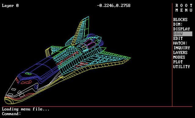
AutoCAD is a common computer-aided design program that has been in use for a while now. Many people prefer to use this software because it has the ability to produce…

Merriam - Webster dictionary defines a map in three ways, the first, "a representation usually on a flat surface of the whole or a part of an area" second, "a…

Nowadays, to stay relevant in your field, you have to look for new sources of insights and innovation. Among such, GIS analytics is probably the most underestimated. The main reason…

A pipeline project can't move forward without an initial survey, and if that survey isn't accurate, the project could encounter time-consuming and expensive difficulties. Luckily, the technologies involved in pipeline surveying…
Geographic Information systems commonly referred to as GIS is a combination of several technological and scientific tools that are used in the management of Geographic relationships. The tools can manage…
ArcGIS is a platform that is explicitly organized to create and manage spatial data. It can as well be used to share and analyze the same data. ArcGIS platform consists…

Water is a scarce resource that we cannot live. Water comes from various sources like rain, wells, springs, mountains as well as ice. It is chemically formed from oxygen and…

Image source: schoolweb.tdsb.on.ca Social science is a discipline that tends to study and investigate how humans live and associate with each other in society. It also explores the various way…
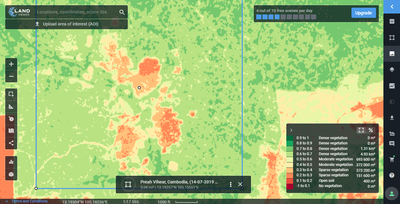
Have you ever kept track of the time you spend monitoring areas with remote sensing images? If you have dozens of territories you need to keep an eye on, this…