GIS Applications in Transportation
The transport sector is one of the backbones of a country's economy. It's through transport systems that goods and people can move as they go about their social and economic…
0 Comments
July 26, 2019

The transport sector is one of the backbones of a country's economy. It's through transport systems that goods and people can move as they go about their social and economic…
Crime activities are very saddening for most people. Most citizens usually depend on government support to ensure security for them. Due to this expectation, the government must do all that…

Human beings have always considered forests as one of the best renewable sources due to their important role in preserving an environment that is ideal for life. Over the past…
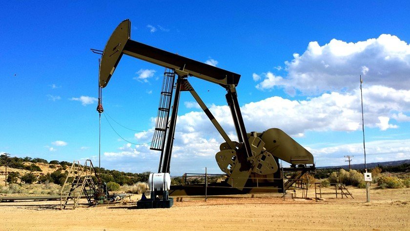
A geographic information system, or GIS, provides a central database storing every piece of data your landmen, equipment, and operations generate and turn it into actionable information. Here are…

GIS applications in the field of tourism goes back several years. Tourists can now rely on maps and other GIS related material to find their way around the world. Below…

GIS has been applied in asset management in a variety of ways. Currently, it is possible to analyze the value of an asset thanks to the availability of GIS.…

GIS, like many other industries, has found its way in business as well. There are various aspects of the business and corporate world where GIS has found meaning. Below are…

GIS can be used in various industries and one of these industries is the real estate. Besides mapping of the areas in real estate, GIS can also play an important…

Architecture is one of the most common fields where GIS not only applies well but adds immense value to. GIS has been applied in the field of architecture in many…

Geographic Information Systems, GIS, and Geomatics are commonly mistaken to mean the same thing but the two fields are very different. Geomatics is the art of collecting and managing geographically…