NAD 83 vs NAD 27
Hello grind GIS people, again I thought to write on the difference and this time between NAD 83 and NAD 27. I have listed 9 differences between these two. …
0 Comments
September 14, 2018

Hello grind GIS people, again I thought to write on the difference and this time between NAD 83 and NAD 27. I have listed 9 differences between these two. …
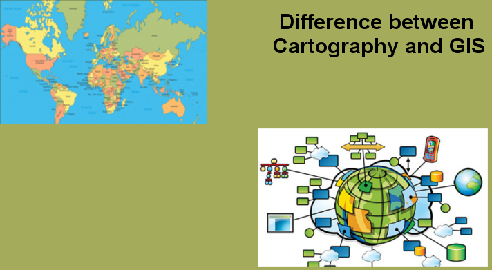
(GIS)Geographical Information System is a system anticipated to capture, analyze, manipulate, store, manage and present every type of geographical data. The merging of cartography, database technology, and statistical analysis is…

GIS technology is used to analyze the urban growth and its direction of expansion, and to find suitable sites for further urban development. In order to identify the sites suitable…
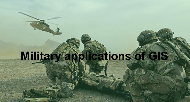
Since the beginning of civilization on the planet earth, Military forces have played a dominant role. Mankind has since time immemorial has a fetish for warfare and this continues till…

GIS stands for Geographic Information system. It is a computer system that collects, analyzes, stores and disseminates geographic information for use by different entities to facilitate informed and smooth decision…
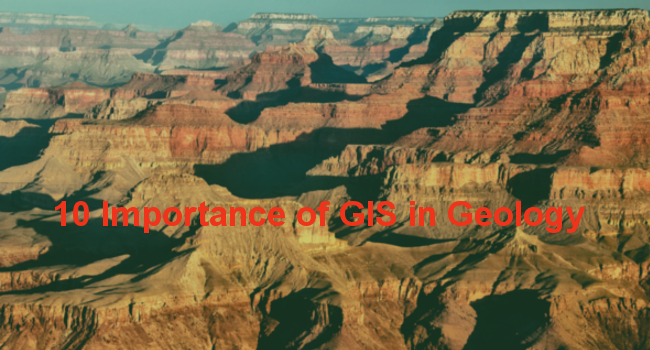
GIS technology continues to play an important role in the study of the earth and all that is on the surface. Through GIS, geologists have been able to identify and…

A GIS is a computer system designed to capture, store, manipulate, analyze, manage, and present a variety of spatial and geographical data. This computer system is very important especially when…
A geographic information system (GIS) is a computer-based tool for mapping and analyzing features and events on earth. GIS technology integrates common database operations, such as query and statistical analysis,…

Geographic Information Systems (GIS) is an information system that is designed to represent manipulate analyze and store various geographic data. This technology is related to the field of Geography. This…
Some users of cartographic software may need attached options and databases to come up with very high profile maps in the same program. On one hand, the cartographic programs may…