Hello grind GIS people, again I thought to write on the difference and this time between NAD 83 and NAD 27. I have listed 9 differences between these two.
1. North American Datum 27 (NAD 27) is based on Clarke Ellipsoid of 1866 which is calculated by manual surveying of the content, whereas NAD 83 is based on the Geodetic Reference System (GRS) of 1980. GRS 1980 is the approximate measurement of the whole earth.
2. NAD 27 is based on the longitude and longitude, and the direction between points. NAD 83 is an earth centered datum which does not have beginning point or direction.
3. The NAD 27 was calculated with a single survey point, MEADES RANCH in Kansas, as the datum point and the NAD 83 was calculated as a geocentric reference system with no datum point.
4. NAD 27 and NAD 83 cannot support the 3D capability of the today’s technology.
5. NAD 27 and NAD 83 ellipsoids are different.
6. NAD 83 is more accurate than NAD 27.
7. NAD 83 is official legal horizontal datum for the USA federal government and it is recognized as a legislation in 48 of the 50 states.
8. Different Parameters for NAD27 vs NAD83
| Coordinate System Name | Ellipsoid | Semi-Major Axis | Semi-Minor Axis | Inverse of flattening |
| NAD27 | Clarke_1866 | 6378206.4 | 6356583.799998981 | 294.9786982 |
| NAD83 | GRS_1980 | 6378137 | 6356752.3141403561 | 298.25722210100002 |
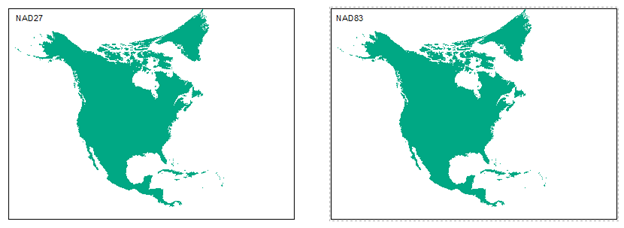
9. NAD83 vs NAD27 North America Map


