
Environmental science is a field that deals with the study of earth processes (biological, physical, and chemical). The use of remote sensing technique in this field has emerged as an effective tool in mapping large and remote areas, and thus it has several applications in the field of environmental science. Due to the use of this technique, there has been an increase in the protection and management of the environment and thus proving the technique is beneficial.
Applications
Some of the applications of remote sensing technique in environmental science are:
1. Monitoring of forests
Remote sensors are powerful tools for monitoring and conserving forested areas. On-site observation of forested areas is not possible because of wild animals and thick bushes, and therefore remote sensing technique provides an alternative method of monitoring these areas. The sensors are placed above the targeted area and are used to monitor activities in those areas.
2. Management of natural resources
Natural resources are valuable, and thus they are prone to theft and misuse; remote sensing technique is used to reverse these activities. The satellite sensor records all the ongoing activities within the site, which greatly helps to minimize cases related to misuse and theft.
3. Protecting water source and course
The government and community put up various measures to protect the water bodies. However, these rules and measures may not be followed since there is no on-site observation, and this poses a great challenge in protecting water bodies and their course. Thankfully to remote sensing technique, allows monitoring of water bodies, and the government can take legal action against the set measures.
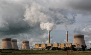
4. Air and water quality
In environmental science, water and air are the most fundamental things, and thus their safety should be maintained. The remote sensing technique makes sure this is possible as it detects the cause of pollution and provides relevant information that can be used to maintain the quality of air and water.
5. Environmental preservation
Remote sensing technique is widely used to protect and preserve the environment by providing information that may be used in decision making to save the environment.
6. Detecting physical characteristics
Sensors can detect the physical characteristics of an area by measuring its reflected and emitted radiation. This helps in documenting the history of a given area or region as the researchers can predict and sense things in that area.
7. Controlling natural disasters
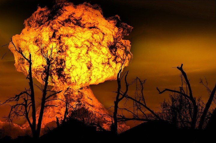
Natural disasters are a great threat to the environment, and thus they need to be curbed and be controlled. The remote sensing technique is a powerful tool for controlling and handling fires, fires, drought, desertification, etc. For example, during a forest fire outbreak, remote sensors such as satellite sensors are used to control the spread of fire in that they can map a larger space, and thus allowing rangers to see the area affected by the fire.
8. Weather prediction
Satellites sensors have proved to be effective in predicting weather conditions and feeding weather forecasters with information that can be used to prepare for weather changes. Also, sensors can track erupting volcanoes, which may help relocate people around the victim’s mountain.
9. Viewing ocean floor
Sensors can be used to take images of the Deep Ocean without needing to travel underwater. This application of remote sensors has greatly led to increased study, discovery, and mapping of the ocean floor’s topography, thus easing Oceanography (study of the ocean).
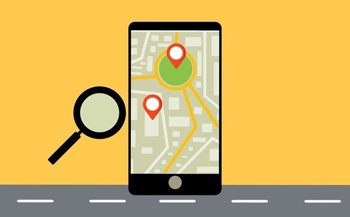
10. Management of infrastructure
Infrastructure such as roads is a component of the environment also, and thus there is a need to maintain them. It is not easy for traffic police to detect traffic problems in all areas; this introduces the remote sensing technique. Satellite sensors record and take images that may be used to analyze the roads and infrastructure.
11. Urban planning
To avoid a congested environment, proper planning is needed. However, this can be achieved by knowing the present state of the area to be managed. An image of the total area covered by the urban is needed, and this is where the remote sensing technique chips in and takes images used in the planning process.
12. Researching tool
During research in environmental science, methods that are capable of capturing maximum data are preferred. The remote sensing technique is more preferable as compared to other methods since it can cover a wide area at the same time.
13. Resource exploration
During the exploration of natural resources, remote sensing is a helpful tool. It is used to locate quarrying sites and update existing geological maps. The technique is also used to identify new mining sites and in locating fuels deposits.
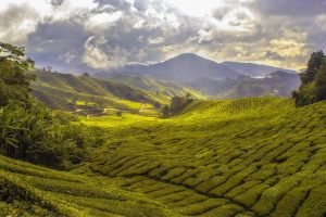
14. Land mapping
In environmental science, land use mapping is necessary. The remote sensing technique is used to take an image on the earth’s surface, and the images are further used to monitor changes in land use and update land and roads map. It equips planners and administrators with the relevant information needed in the development of the area.
15. Environmental study
During the study of the environment and its surrounding, remote sensing is helpful in detecting the cause of deforestation, volcanoes, pollutions, desertification, landslides, and other natural hazards. Important information is deduced from this study and may later be used to prevent the occurrence of another natural hazard.
16. Habitat conservation
Some vegetation in the environment needs to be protected from animals and also humans. Remote sensing technique may be helpful in recording all the activities taking place around the protected area and hence maintaining their safety.
17. Source of information
Remote sensing technology may be a vital source of information to any study related to the environment. Recorded images and videos by sensors may be used in environmental analysis as they contain information of the wide area.
In conclusion, the remote sensing technique is directly related to the rise of the environmental science field and has proved to be a powerful tool.

Godase Dasharath B.
22 May 2023Simple but Excellent information in short.