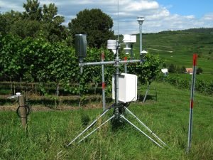
Land cover includes forest, vegetation, soil, water bodies, grassland, and snow. Remote sensing is applied in land cover to provide a synoptic view and multi-temporal data for land use and land cover mapping. Remote sensors identify land cover to provide a baseline for performing monitoring activities. Below are some of the applications of remote sensing in land cover.
1. Land Use and Land Cover Change Analysis
Land use refers to a given land’s purpose, for instance, recreation, habitat, or agriculture. The application of remote sensing techniques in land use and land cover change analysis helps people discover the development trend in rural and urban areas. The research’s information is essential for proper planning and managing a given site.
2. Environmental Degradation Monitoring
Environment degradation is the deterioration of the environment due to human activities such as improper land use, overpopulation, and deforestation. These forces primarily affect the behavior of land by making it less productive. Various land cover classes are assessed quantitatively and qualitatively to monitor degradation through remote sensing techniques.
3. Natural Resource Management
Natural resources are vital to the economy of any nation. Natural resource management entails identifying, adopting, and implementing product strategies and policies to protect landscapes. The use of land-based remote sensing generates data for decision-making processes on the management of natural resources. The approach contributes to accomplishing objectives like land use planning, biodiversity conservation, and sustainability of industries.
4. Wildlife Habitat Protection
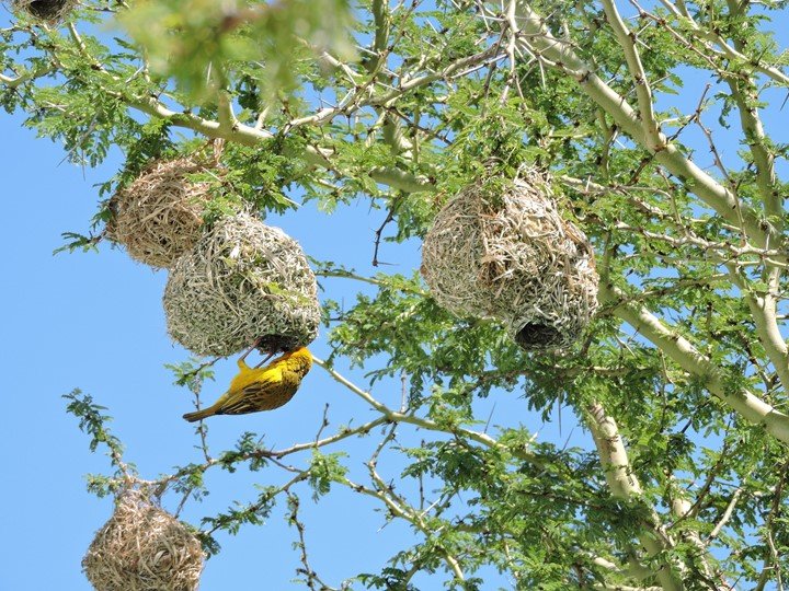
There is a lack of information on the effects of land cover changes on wildlife habitats. It is crucial to understand how land cover changes can affect wildlife life. Remote sensing technology provides a platform where people can generate informative and relevant data for making sound decisions for wildlife habitat protection.
5. Climate Change Monitoring
Issues emerging from climate change need to be looked into early enough because the land is the core provider of food and water. Humans have transformed a huge chunk of the earth’s surface for agricultural and industrial services. Changes in land use may cause future changes in the earth’s climate and, in turn, more tremendous implications on land cover. The remote sensing technique provides strategies that help monitor climatic changes.
6. Monitoring Changes in the Pattern of Land Use and Land Covers
Over the decades, unprecedented changes will likely occur on any given land. These changes can be biodiversity loss, carbon dynamics, environmental pollution, and a decrease in vegetation cover. The dynamics of the synoptic view of the earth’s surface using sensors makes it easy to study the variations in land use and its cover over periods.
7. Soil Characteristics
Soil has a critical role in the productivity of a given land. Land cover type has a significant impact on a given soil’s physical and chemical characteristics. The remote sensing technique emerged as a database for evaluating soil profiles and conducting complex studies on soil properties variations.
8. Inventorying Potential Landslides
The occurrence of landslides is a negative impact on land cover changes. Landslides cause loss of life, property, and the earth’s surface deterioration. The remote sensing technique is applied in land covers to investigate potential landslides. The sensors use stereo and optical images of the slope to measure ground surface displacements. In case of any signs, the area inhabitants are warned to relocate early.
9. Assessment of Terrain Stability
Industries monitor terrain stability to ensure better safety standards in the work area. Assessment of terrain stability involves carefully evaluating a terrain using active sensors. During the evaluation, remote sensors measure landscape deformations using interferometry. Data from these assessments are necessary for the management of unstable terrains.
10. Oceanography and Oil Spills
Oceanography studies an ocean’s biology, chemistry, physics, and geology. Remote sensing is applied in oceanography to maximize the search for ocean oil spills to preserve marine life and the surrounding environment. Satellites are used to determine the extent of the oil spills and to identify the direction and the rate of oil movement. Data analyzed from the observations help document how land covers must be protected from leakages.
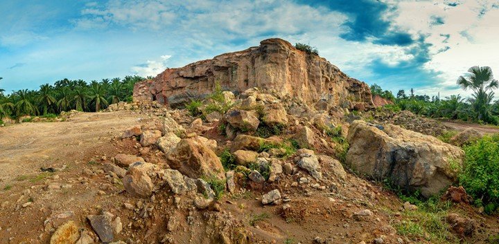
11. Studying Geology of the Earth Surface
Geology generally studies earth materials, structures, and processes over time. The study involves the evaluation of the earth’s landscape, plants, and animals and how they are affected by rocks and other earth materials. Remote sensing applications in geology are crucial to land covers, bedrock, and mapping.
12. Topography
Topography studies land’s surface configuration and the effects on land use and cover. Geographic Information Systems and remote sensing techniques check for aspects like altitude, elevation, and slopes in topography. The sensors are appropriate for distinguishing lands according to their altitudes and slopes in topography. High-altitude areas favor plant growth, while low-altitude areas do not meet the requirements for plant growth.
13. Vegetation Mapping and Monitoring
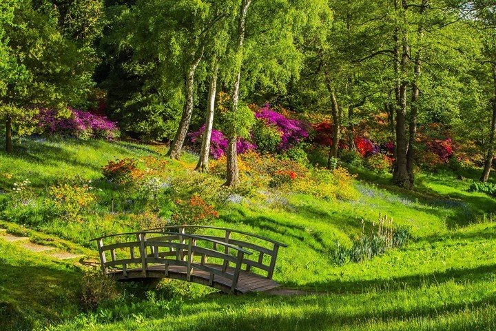
One of the most basic land covers is vegetation. Remote sensing imagery is essential in vegetation mapping; the technique enables a thorough understanding of the concepts utilized to study vegetation covers. In addition, the remote sensors use data from satellites to measure the wavelengths of chlorophyll in green plants. The data from the observations are used to evaluate the growth and development of plants due to land cover changes.
14. Land Use Monitoring
Land use is determined by ownership systems, technology, population, and political structures. Timely information is required to know the quantity of land in use and identify the changes in land use as years go by. Data obtained from remote sensors and GIS systems helps develop sustainable land use management strategies.
15. Environmental Management of Land Covers
Improved land cover maps provide a better baseline for understanding the extent, availability, and condition of lands. Managing land covers is crucial to ensuring land offers the best ecosystem services. Combining satellite remote sensing data with GIS systems offers a potential tool for managing land covers.