An easy definition of meteorology is that it is the study of the atmosphere and its phenomena. This includes weather and climate. Most of us know meteorologists as experts who forecast weather. While this is true, meteorologist use sophisticated techniques and tools to predict weather, study satellite data, maps and radar information. Let us look at the various application of remote sensing in meteorology:
1. Evapotranspiration
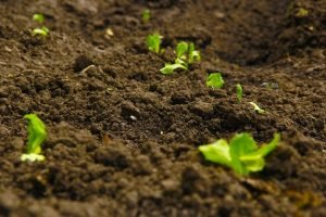
Remote sensing observations on the optical wavebands combined with ancillary meteorological data have been used in evaluating evapotranspiration over a range of temporal and spatial scales. Remote sensing in the optical regions has been shown to provide information useful in estimating surface temperature, albedo, incident solar radiation, and vegetation biomass.
2. Surface water
The surface area of freshwater streams, rivers, lakes, and reservoirs constitutes a relatively small portion of the Earth’s surface in comparison to the area of marine and terrestrial resources. The measurement of surface water area is an operational technique with an image scanner or radar data. Wavelengths on the near-infrared provide the best data for interpreting the land water interface. Other measurements obtained include water depth, water surface temperature,water-stage level, salinity, and mineralization.
3. Snow
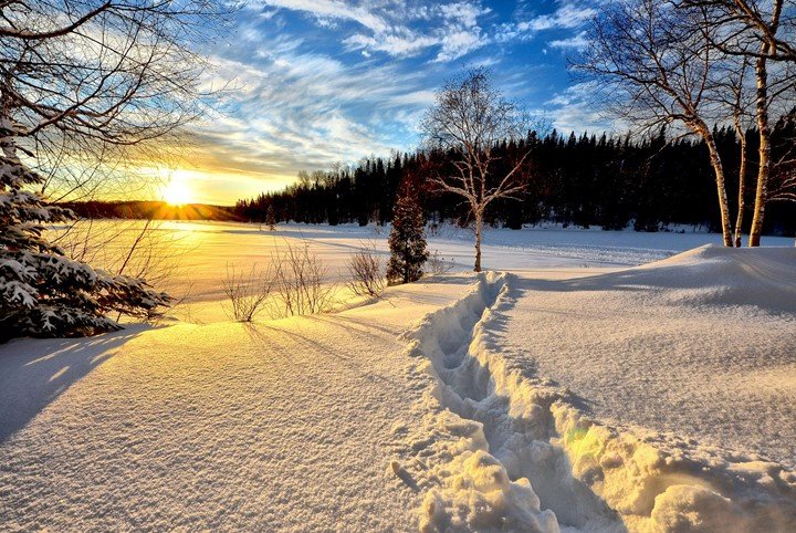
Among the application of remote sensing in hydrology, snow cover mapping is reaching the operational stage. The hydrological application of snow cover mapping by remote sensing can be summarized as seasonal run-off forecasts from the snow-covered area, possibly in large basins.
4. Basin characteristics and inventory methods
The drainage basin is the basic area unit in which various physiographic features can be measured and studied. Physiographic parameters measurable from the space platform include stream order, stream length, basin area, basin shape, drainage density, drainage pattern, and stream meander wavelength. Probably the most widely used type of remotely sensed data for land cover in water resources studies is that obtained within the visible and near-infrared region of the spectrum.
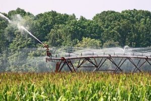
5. Rainfall
Direct measurement of rain from satellites for operational purposes has not generally been feasible due to the opacity of clouds preventing observations of the precipitation directly with visible infrared and thermal infrared sensors. Satellite data are useful in providing important information on the spatial distribution of potential rain-producing clouds, and gauge data are most useful for accurate point measurements.
6. Watershed geometry
Remote sensing data can be used to get almost any information that is basically obtained from maps and used to initialize hydrological models. Area covered by drainage basin and the drainage system is easily obtained from good imagery even in remote regions.
7. Empirical relationships
Empirical flood formulae can be used in making quick estimates of peak flow or for making peak flow estimates when there is little information available. Most empirical flood formulas are based on the drainage area of the basin.
8. Snowmelt run-off
Forecasting snowmelt run-off for either water supply or flood prediction is a major task for hydrologists in many parts of the world.
Snowmelt run-off steps using remote sensing are guided by two distinct paths; that is an empirical relationship or numerical modeling.