Remote sensing in soil science provides information about the earth’s surface about soil properties. Several researchers use remote sensing for natural resource mapping and soil taxonomic study. A remote sensing analysis results are used to evaluate soil survey data and identify more information about soil properties. Below are some critical applications of remote sensing in soil science:
1. Temporal Assessment of Soil Loss
Remote sensing application is applied in soil science to assess soil loss using the revised universal soil loss equation. The revised universal soil loss equation calculates annual soil loss by estimating the flow length, slope length, and steepness. Remote sensing and geographical information systems (GIS) help develop an erosion map, which is necessary for predicting excessive soil loss. The map is also practical in the implementation of erosion management strategies.
2. Optimizing Irrigation Efficiency
Many factors affect the efficiency of irrigation water use. The efficiency of irrigation techniques is closely connected with soil hydrological and physical interaction. Remote sensing optimizes irrigation efficiency through subsurface drip irrigation using neural networks. Artificial neural networks are used to forecast the effectiveness of irrigation. Moreover, they predict relative transpiration from the depths of installed pipes, irrigation depths relative to transpiration depths, and irrigation rate. This network is trained and examined using fifty synthetic realizations.
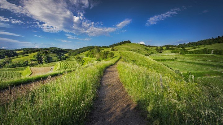
3. Development of Industrial Agroforestry Models

Agroforestry is an essential land-use system that facilitates the provision of food and other nutritional substances. The development of industrial agroforestry models results in high yielding and fast growth patterns of the tree species and woods. The remote sensing technique promotes farmers’ analysis and assessment of industrial agroforestry models.
4. Study of Water Movement in the Soil
Soil type affects the shape of wetted soil volume. Gradually, with the increasing hydraulic conductivity, the shape of the wetted soil volume will change from wide-shallow to narrow-deep. Soil type also affects water distribution in the wetted soil volume. Drip irrigation amount is the primary determinant of wetted soil volume. Remote sensing allows for the experimental study of water movement in the soil using drip irrigation.
5. Wetting Patterns and Water Distribution
The wetting is designed like a rotating projectile in different media, and its horizontal infiltration radius occurs at 3-6 cm below the medium surface. The volume of the medium wetting body reduces as the horizontal and vertical migration rate of the medium wetting body increases with the flow of irrigation. Remote sensing provides information on the distribution of water movements through cultivation media in drip irrigation.
6. Assessment of Hydrological Variables
Soil surface features significantly affect infiltration that affects runoff production to basin outlets and streams. Soil texture, porosity, and roughness are the main factors used by hydrologists to explain water infiltration. While assessing these variables, remote sensing plays a significant role in identifying such parameters and obtaining the required information.
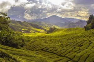
7. Grassland Management
Grasslands cover over one-third of the earth’s ecosystem. Grassland management entails choosing and managing soil fertility, forests, and resting grasslands. Remote sensing is used to analyze grassland production and management through radiations and satellite data. Grassland management information from sensors facilitates continuous monitoring of grassland areas for better yields.
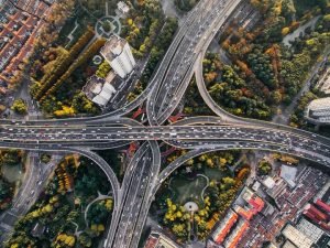
8. Monitoring Runoffs Areas
Monitoring runoffs areas means that areas that produce runoff influence soil loss at the water catchment area. The size and connectivity of the areas that lead to runoff directly correlate to the usage of land and farming activities that control vegetation cover. Remote sensing techniques, i.e., optical sensors, play a vital role in enhancing infiltration, decreasing flow rates, thus protecting the soil that the rainfall could have washed away.
9. Estimation of Soil Roughness
The roughness of the soil surface impacts several hydrological and erosion processes. Remote sensing uses data observed from radar sensors to estimate the degree of roughness in a given area. Synthetic aperture radar is sensitive to different soil roughness for dry soils. This parameter is also used in the distribution of runoff and erosion models. Estimating soil roughness is concerned with separating water flow into infiltration and runoff.
10. Evaluation of Soil Parameters
Remote sensing is applied in the evaluation and measurement of four key parameters as follows:
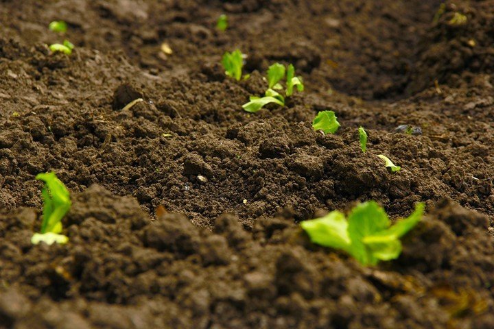
- Soil moisture-this influences the way rainwater is shared between the phenomena of evaporation, transpiration, infiltration, and runoff. Soil moisture data aids in determining the amount of wetness in the soil and, therefore, is a good indicator of the plant that can be grown in that soil.
- Soil texture is a crucial factor of soil that influences physical, chemical, and biological soil processes, making it an essential property of soil management.
- Soil temperature- is a crucial component in describing evapotranspiration and surface-atmosphere processes.
11. Surface Cover and Hyperspectral Data
Several farming activities have been adopted to mitigate runoff risk. These activities include crop residues through mulching which protects the soil from raindrops’ impact. Residues can be differentiated from bare soil using remote sensors based on spectral indices. Standard spectral indices used include the middle infrared or near-infrared domains or an approach based on mixed spectral analysis.
12. Estimates of Infiltration Parameters
The infiltration coefficient is not measured directly. It requires complementary experiments to develop the empirical relationship between soil surface conditions and infiltration coefficient over many measurements. Remote sensing techniques have made it easy to perform infiltration measurements on different soil types.
13. Hydrological variables linked to the transfer function
The number that can be introduced into the parameterization transfer function includes slope, morphology, networks of natural or artificial incision, and their availability depends on the technical properties of the sensor giving access to the earth’s observed images.
14. Mapping of Soil Properties and Land Degradation Risk
Land degradation involves a combination of undesirable human-induced processes that may affect land. There is a need for frequent assessments and mapping of soil properties to reduce human beings’ increasing effects of land degradation. Remote sensing data from Moderate Resolution Imaging Spectro-radiometer (MRIS) are perfect models for soil mapping.
15. Potential Erosion Risk Calculation
Potential erosion risk calculation measures the amount of soil mass lost over a specified period. Assessment of soil erosion is done by estimating factors such as; soil erodibility, the inclination of slopes, rainfall erosivity, and vegetation covers. Different approaches have been used to assess soil erosion risk; however remote sensors surpass them all.