Regional planning deals with the effective usage of the land, infrastructural development, and settlement growth over a large piece of land. Remote sensing help acquire information about the land in use activities and ensure efficient utilization of land available.
This article shall discuss a better way of regional planning using remote sensing techniques.
1. Construction planning
Remote sensing help to plan construction sites where the information of ground levels for the setting of the buildings. This essential information help builders and construction personnel determine suitable areas for the proposed buildings.
2. Area planning.
The area plan is used by individuals in different sectors o determine the region’s growth. Remote sensing will gather data crucial to help developers of the area. They will help developers understand where and how to determine the best areas to put up different facilities in the identified region.
3. Population distribution.
How the area population is distributed is described by remote sensors. It is very important data in regional planning. Clear information about the number of people in an area will help governments to know how to share resources among their people.
4. Environmental planning.
The use of remote sensors gathers vegetation coverage of the region. As a result, it helps determine the percentage of the area under forest cover. The agricultural sector will determine where to add more trees to maintain the required forest cover. Also, environmental hazards such as poor drainage, uncovered quarries, dumpsites are identified, and proper management actions are implemented.
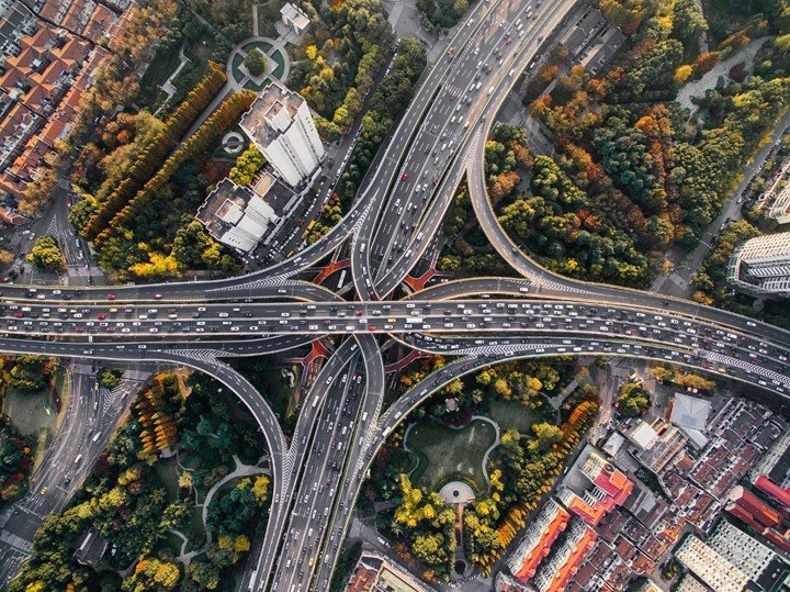
5. Infrastructure planning.
Before settling infrastructure projects requires proper planning, satellite data will be crucial to determine how infrastructure development is distributed in the region. This information will help identify places that require some infrastructure developments. For example, remote sensor photos will show how electricity is connectivity coverage in the region.
6. Weather forecasting planning.
The region forecasters use remote sensors in detecting weather patterns. This remote sensor is equipped with modern technology to check meteorological changes as they occur. He helps predict weather patterns and alerts people either on heavy rains, wrong winds, or storms on the seas. Farmers will know how the rains will be and determine the suitable crops o plant under certain climate changes.
7. Social and economic planning
Social and economic planning involves activities carried out by the people in the region to satisfy their lifestyles. Most economic activities are farming and trade, which are commonly practiced. Remote sensors provide the information required to plan the farm fields and marketplaces. All data on crops grown and necessary conditions for their growth in the region are captured.
8. Waste management planning.
Waste management is very vital information to be considered in regional planning. Remote sensors help indicate safe places for waste disposal from the information they provide to the planners. For this reason, it helps reduce the risk of uncontrolled waste infections. For instance, malaria and typhoid outbreak are commonly experienced and causes harm to the people living in those regions.


