When radar is equipped with an active sensor to illuminate objects, it is defined as active, and with a passive sensor relying on external sources is defined as passive. Remote sensing is the process by which the physical characteristics of an area are detected and monitored by measuring its reflected and emitted radiation at a distance, like from an aircraft or satellite.
1. Surfaces displacements
Within a satellite-based synthetic aperture known as Synthetic Aperture Radar (SAR), which scans the earth’s surface using microwave radiation, SAR interferometry assists in risk analysis and spatial planning by watching the large areas of displacement of surfaces. Interferometry is the determination of relative path length differences based on the superposition of the phase of 2 SAR images.
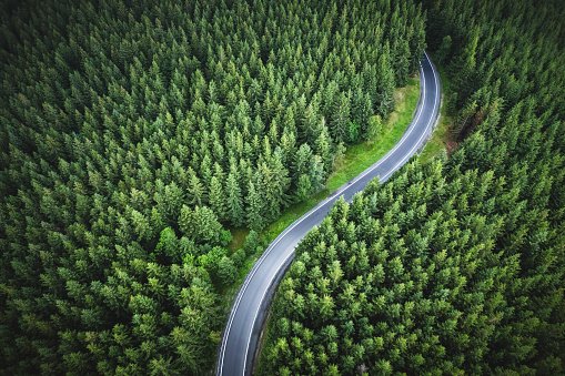
2. Forests Mapping
Radar and remote sensing are deployed to monitor forests because they allow viewing valuable forest data such as the areas of disturbances, calculation of land surfaces and developing volumes of forests, and measuring the standard canopy height in the forests.
3. Photosynthetic process
Satellite radar remote sensing provides practical measurements associated with ecosystem process modeling, such as initial plant growth. Annual processes such as photosynthesis and autotrophic respiration rates of evergreen forests are produced using a remote sensor. Microwave remote sensing is essential to many modern applications, such as observing the global climate.
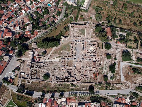
4. Earthquakes Damages
Remote sensing and optical satellite techniques are used in damage detection in rural areas. Satellite remote sensing provides helpful information that can be used to develop systematic frameworks to provide deep knowledge of the earth’s surface. The geospatial information produced can then be used in addressing decisions in comprehensive management, risk, and assessing disasters. SAR can measure damaged areas in disasters caused by earthquakes, floods, and forest fires. It also provides imaging capability to rescue teams in locating earthquake survivors.
5. Weather Forecast
When radar is combined with Global Positioning System (GPS) technologies, they can obtain helpful atmospheric water vapor, operational weather forecasting, atmospheric storm systems, and global climate changes information. An S-band dual linear polarization radar that employs a new HDR signal can be used for measuring raindrops’ size distribution.
6. Bio-Medical Applications
Electromagnetic waves from UWB radars permit the observation of the intrinsic complex structure of the human body. The advanced technology of the UWB radar systems is used to monitor and assess different aspects of the human body, such as chest movements and imaging, heart imaging, respiratory system, etc.
7. Monitoring the Sea Status
Radar remote sensing techniques are used in measuring sea status. Radar satellite configurations with ships, islands and land-based stations can measure the ocean wavelength spectrum utilizing a range of frequencies.
8. Mapping of Land and Regions
Radar backscatter allows for assessing soil’s dielectric properties and inferring the surface layout (smooth vs. rough). Radar imaging can also provide optical data on wetlands and upper regions of the earth. Synthetic aperture radar (SAR) has a significant ability to penetrate clouds and is used for day-night monitoring and measurements of wetlands. Ground-Penetrating radar (GPR) is a radar technology used to investigate the underground world, and depending on its application, and it can use air-coupling or ground-coupling antennas. It may analyze wetlands, rocks, pavements, structures, and underground water detection.