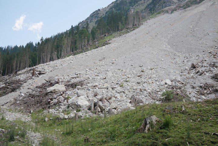
17 Applications of Remote Sensing in Environmental Science
Environmental science is a field that deals with the study of earth processes (biological, physical, and chemical). The use of remote sensing technique in this field has emerged as an…
Remote sensing is a technique that is widely used for various environmental applications and benefits. In the current world, there has been an increase in environmental pollution due to industrialization…
Remote Sensing technologies can either be satellite or aircraft based on detecting and classifying death system objects and characteristics through propagated signals. It provides major advances in understanding climate system…
Remote sensing is the technique used to record and take images of a thing or an area. In archeology (study of remains), remote sensing is one of the tools that…
1. Definitions Remote Sensing is a technology that identifies and measures different parameters without direct contact by relying on inspecting different wavelengths of light radiation. Remote Sensing identifies and processes…
Natural disasters are common occurrences that result from natural causes like floods, volcanoes, earthquakes, etc. Disaster management is a general term used to stand for processes involved in strategic planning…
Coastal ecosystems exhibit extreme changes in areal extent, spatial complexity, and temporal variability. Therefore, protecting the ecosystems requires the ability to evaluate and monitor these features at high resolution. Remote…
Appropriate and suitable crop monitoring requires high technical and scientific estimations to enhance agricultural sustainability and effective plant health. This creates smart agriculture that increases yields with quality nutrients. 1.…
It was not long ago that being self-employed as a GIS specialist would have seemed a daunting if not, an outright scary prospect for many geospatial experts. Now, this might…
The Importance of Maps in Times of Crisis The outbreak of the coronavirus left the entire world in disarray. People are forced to stay indoors, and delivery businesses rely on…