Remote sensing information is important in the oil and gas industry. Crude oil has become a reliable source of wealth to many countries with this immense resource. The largest oil producers are Saudi Arabia, Russia, Canada, the United States, and China. These nations rely on remote sensing technology to explore and produce oil, natural gas, and geothermal energy. The various application of remote sensing on oil exploration include:
1. Locating slicks
The sentinel-1 SAR has been commonly used over the years. Water surface slick can be detected using satellite-based synthetic aperture radar remote sensing. The SAR imagery can show oil slicks on the sea surface when the conditions are right. The larger slicks on the sea’s surface can be observed from space and used to determine hydrocarbons being released. For example, the Aegean sea has many natural slicks formed by hydrocarbons leaking from the seafloor.
2. Detecting hydrocarbon leaks and recurrence
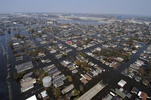
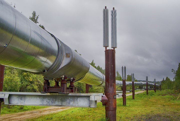
Remote sensing has enabled research to detect oil leakage during transportation through pipelines or storage in refinery plants. Detecting oil leaks is important because oil leaks cause devastating effects to the environment, wildlife, and human health. They also cause significant economic losses. Detection of hydrocarbons and contaminated fields using remote sensing has been common, especially after introducing airborne and space-borne hyperspectral sensors.
3. Evaluating leak magnitude
The greatest challenge with leak testing is assessing the extent of the leak and the exact position of the leak. Both oil and gas leaks are harmful to the environment. It is difficult to detect natural gas leakage because it has no color or odor. Synthetic Aperture Radar(SAR) data, satellite altimeter data, abnormal geophysical data from airborne magnetic data, and geological data of oil and gas enriched basins have helped in evaluating the magnitude of hydrocarbon leaks
4. Oil and gas seeps
Most oil exploration relies on more complex technology to detect and determine the extent of deposits using exploration geophysics. Areas that are thought to contain hydrocarbons are subjected to gravity surveys, magnetic surveys, passive seismic, or regional surveys to detect large-scale features of subsurface geology.
5. Decision making in oil exploration
Data obtained from remote sensing and geological data help to make important oil exploration decisions. The decisions on oil exploration are based on geological risks normally expressed as probabilities related to individual oil exploration prospects. Oil discovery probabilities are calculated using remote sensing, geophysical and geological data.
6. post drilling estimation
A post drilling estimation of oil potential involves analysis of remotely sensed data, geological and geophysical workload. The oil discovery probabilities are recalculated with updated information to create a more accurate assessment of oil potential.
7. Oil and gas mapping
An important application of remote sensing in the oil industry is oil and gas resource mapping. Remote sensing is used in downstream and upstream applications, including well site planning, pipeline mapping, and environmental change detection.