credit to : flowingdata.com
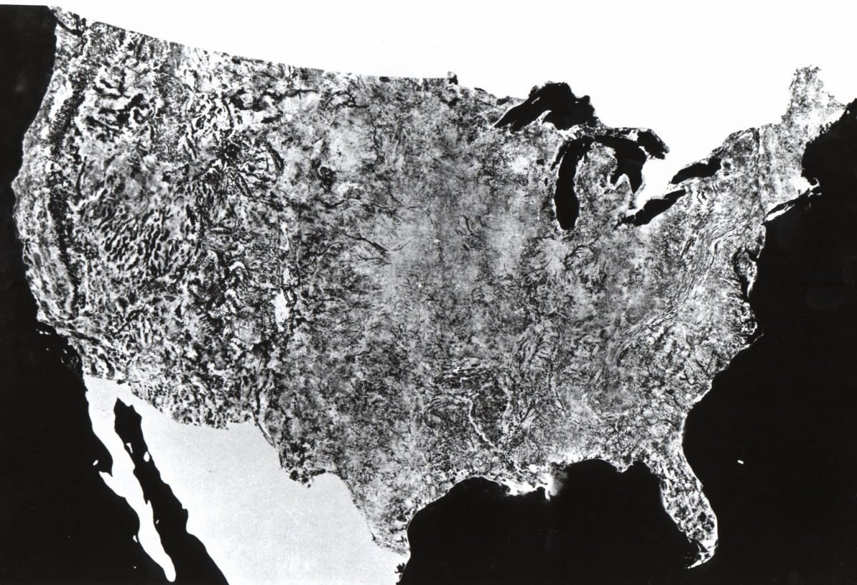
NASA published a giant Air photo of United Sates in year 1974 which does not include Hawaii and Alaska. This is the first Satellite photo in history of mapping. It includes 48 states and 595 cloud-free black and white images. The map was 10 by 16 feet. The project was completed by Agriculture Soil Conservation Service Cartographic Division. The image were from NASA’s first Earth Resources Technology Satellite (ERTS-1). All the images were taken at same height (912 Kilometers) with same lighting angle. Images were captured during the period of July 25 to October 31, 1972.

Landsat 1, originally named “Earth Resources Technology Satellite 1”, was the first satellite of the United States Landsat program.


