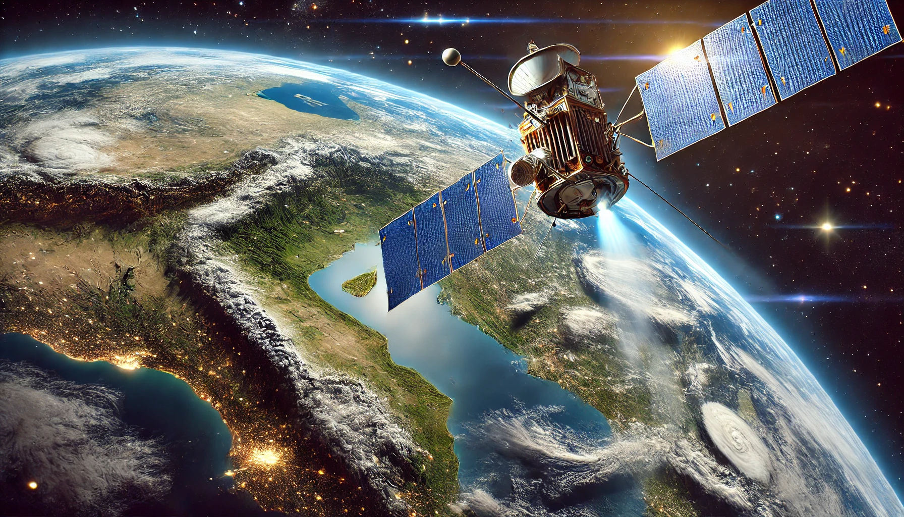
Yes, remote sensing can be used for automated trading, primarily by integrating geospatial data into trading algorithms to provide insights and predictive signals. In fact, trading apps like Immediate Edge use this type of technology. Here are some ways remote sensing can be applied in automated trading:
- Agricultural Monitoring: Satellite imagery can monitor crop health, estimate yields, and track weather conditions. This information can influence commodity prices and help traders make informed decisions.
- Environmental and Weather Data: Remote sensing can provide data on weather patterns, natural disasters, and environmental changes. For example, predicting a hurricane’s path can affect trading strategies for insurance companies, agriculture, and energy sectors.
- Infrastructure and Urban Development: Monitoring construction activities, infrastructure development, and urban growth can provide insights into economic trends. This data can be useful for real estate investments and assessing economic growth.
- Resource Extraction: Satellite imagery can monitor mining activities, oil extraction, and other resource industries. This can influence commodity trading by providing early indicators of supply changes.
- Transportation and Logistics: Tracking shipping routes, port congestion, and transportation infrastructure can impact the trading of goods and commodities. Remote sensing data can help anticipate delays or disruptions in supply chains.
- Forestry and Land Use: Monitoring deforestation and land use changes can impact trading in related markets, such as timber, agriculture, and carbon credits.
By integrating remote sensing data into trading algorithms, traders can gain an edge through unique insights and predictive analytics. This can lead to more informed and potentially more profitable trading decisions.


