Hazardous activities are activities that are likely to cause harm or like to human beings. However, these can be avoided. Numerous ways can be used to avoid and control occurrences of these hazardous activities. Remote sensing techniques can monitor earth activities and show activities that are likely to trigger disaster. In this article, we shall discuss some of the common applications of remote sensing in assessing hazards.
1. Source of data
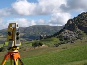
To curb hazardous activities, correct and timely data is needed. Remote sensing makes sure this is possible. It provides accurate, timely, and reliable data that can be used to plan for any hazard that can occur. Secondly, these sensors are spaceborne; hence they are rarely affected by these hazards.
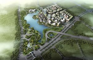
2. Construction assessment
During construction, both the engineer and the building are at higher risk. Special tools like remote sensors are used to monitor the construction site from the site to minimize these risks. The remote sensor sends the data to relevant authorities in case of any risk, and the risk can be curbed. Similarly, remote sensors can monitor the pollution emitted from the construction site.
3. Detecting and monitoring forest fires
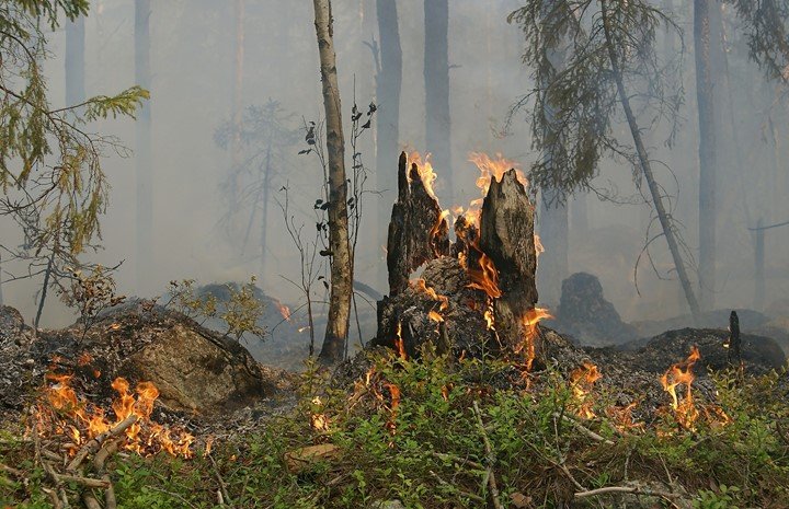
Forest fire is one of the common natural hazards that affect wild animals and the area’s weather. Remote sensors can monitor a wide forest view, and in case of a fire outbreak, it can be controlled. Firefighters can use the information from remote sensors to save the forest from fire.
4. Analyzing snowpacks and icebergs
If not clearly assessed, snowpacks and icebergs are hazardous. Remotes sensors tools like spectrometers are used to compute the rate at which the ice will melt. Therefore, people have informed decisions and can relocate areas likely to flood when the ice melts. On the other side, the icebergs are a great threat to ships and other water components. Remote sensors use special lights to detect the presence of an iceberg. This information can be used to minimize dangers in the sea.
5. Predicting landslides
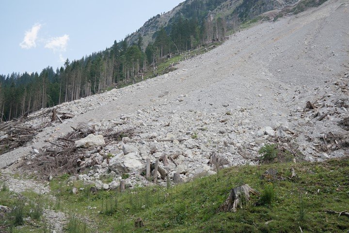
Landslides are natural disasters that lead to the death of many lives and the loss of properties. Predicting and detecting landslides is one of the main goals in hazard assessment. Images and data from remote sensors can be used to analyze landforms, and in case of any changes, they can be detected.
6. Earthquake Assessment
If not detected on time, an earthquake can cause great damage to the earth’s surface. Remote sensing tools can detect any movement of the earth and signs of earthquakes. When the spatial data from these sensors is analyzed, the earthquake risk can be controlled. Also, the remote sensor can be used to rescue people during earthquake pandemics.
7. Assessing Volcanoes

Remote sensors can be used to map and detect volcanic eruptions. This enables people to relocate from areas that are likely to be affected by the eruption.
8. Hazards reports and inventories
Hazards reports and inventories contain analyzed spatial data concerning the hazard assessment. The remote sensing technique is the main raw material for these spatial data.