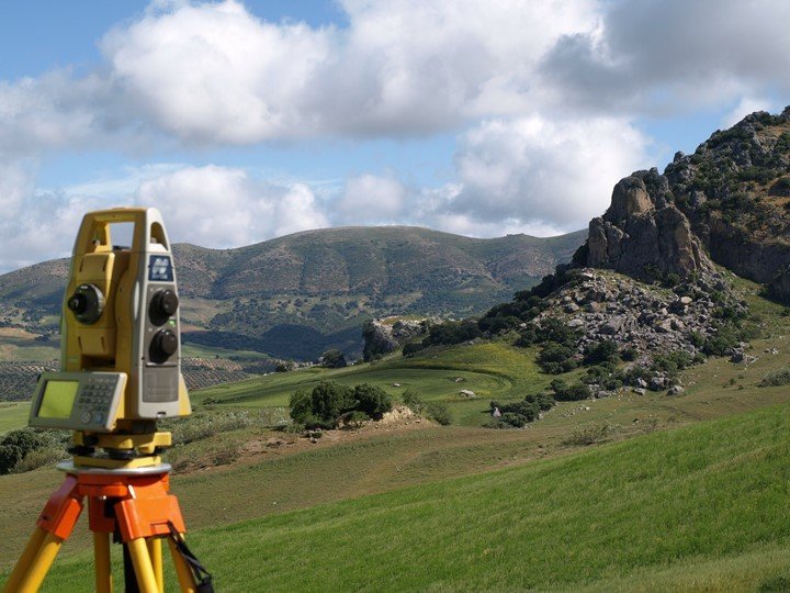
Topography is the arrangement of the natural and artificial features of an area. It is also the study of the forms and features of land surfaces that refers to the forms and features themselves. Examples include mountains, valleys, craters, and rivers. Topography enables weather forecasters to determine the weather conditions and enables engineers to plan on strategies during construction. Mapmakers use remote sensing. It is the acquisition of land data from satellite platforms that can hence be used to make maps. The remote sensing process usually detects and monitors the physical characteristics of an area, typically by measuring it’s reflected and emitted radiation at a distance that is from a satellite or aircraft. This article focuses on the applications of remote sensing in topography.
1. Monitoring volcanoes
Volcanoes form when hot molten rocks from the upper mantle of volcanic mountains find their way to the earth’s surface. Eruptions are hazardous to animal and plant life. It, therefore, becomes imperative that they be detected before causing havoc. Thermal and mid-infrared clear solutions in remote sensors are used to monitor volcanic activity.
2. Detecting potential landslides
Landslides cause loss of life and property worth billions of dollars every year to prone areas, every year. Remote sensors are used in inventorying potential landslides by using stereo and optical images with slopes. The slope instability causes earthquakes, erosion, and poor drainage. However, through remote sensors, warning signs are established, and people and animals can be evacuated before danger.
3. Identifying and quantifying the damage after an earthquake
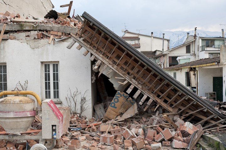
The result of an earthquake is catastrophic. It is also difficult to assess it at times due to the damage that has been done. However, assessment of earthquake damage is essential so that rescue can be done. The object-based classification using change detection is used to assess damage after an earthquake.
4. Mapping of the ocean floors
Remote sensors are used in satellites to complete a picture of the ocean floor and subfloor features. Underwater mountains and seafloor topography have been discovered through remote sensors.
5. Studying the geology of the Earth’s surface
Geology comprises everything we see on the earth’s surface from rocks, material, and nutrients. Remote sensing applications in geology include bedrock, lithological and structural mapping. Rock composition has already been studied through multispectral and spectral reflectance.
6. Calculating the depth of snowpack
Snowpack is the accumulation of snow over an extended period. It is rather difficult to measure the depth of a snowpack in an area. However, remote sensors come in handy by using a spectrometer that measures snow depth.
7. Monitoring land use
Engineers and planners use this in making decisions during a design project. The optical sensors used in this case measure the solar radiation reflected from the earth’s surface. The different wavelengths detected are then combined and an image resembling a photograph taken of the earth’s surface appears.