One precious innovation in Geography is using and applying Remote Sensing and Geographical Information Systems (GIS) in geographical studies and research. Remote sensing and GIS have transformed the world in data collection techniques. Well, here are some of the absolute BEST remote sensing applications in geography.
1. Weather and Climate Change
Every aspect of weather and climate change is affected or affects geography. The remote sensing technique helps estimate sea surface temperature, which closely monitors weather changes. Information collected from the satellite signaling and imageries is used for developing early warning and forecasting systems to reduce climate change-related risks. Scientists use GIS tools for statistical analysis and monitor climate change’s impacts.
2. Geomorphology
Geomorphology is the study of landforms, their processes, and their evolution. In geomorphology, remote sensors help scientists understand deforestation, soil properties, and precipitation issues. Knowledge in geomorphology is essential when preparing for hazards like flooding events. Remote sensing techniques in geomorphology have been applied in land mapping, the study of the earth’s surface, and identifying wind erosion areas.
3. Hydrology and Water
Remote sensors promote the effective use of hydrology in geography to reduce the risk and impacts of water-related disasters. The sensors are used to monitor aspects such as measurements of evapotranspiration, rainfall distribution, soil moisture assessment, and groundwater level. The launching of satellites has contributed to significant improvements in hydrology monitoring and effective environmental management at all levels.
4. Forest and Biodiversity
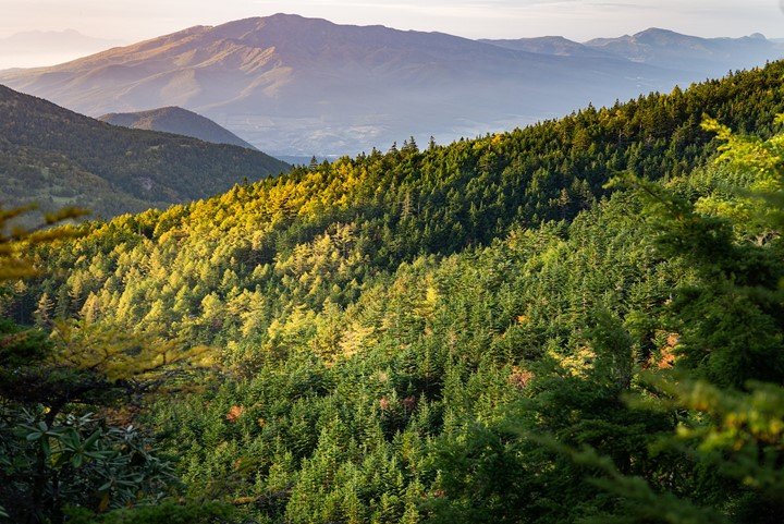
Forests are the most diverse ecosystems since they carry many terrestrial species. However, forest biodiversity is threatened by issues like deforestation, degradation, hunting, and forest fragmentation. Through remote sensing, the assessment of forests and their changes with time have been monitored appropriately. Remote sensing has greatly facilitated forest land classification, fire detection, and mapping to manage forests.
5. Land-Use/Land Cover Mapping
Land use and land cover mapping study land utilization, planning, and the management of the available natural resources. Remote sensing data from thematic maps provide the baseline for monitoring activities to perform. Various remote sensors and GIS layers are significant in analyzing and monitoring land-use change dynamics.
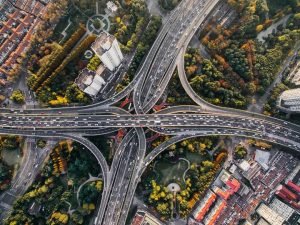
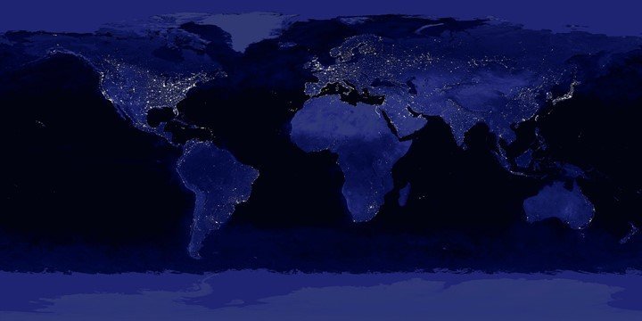
6. Urban Development
By getting urban development right in geography, nations should ensure increased economic growth from environmental resource use and local and regional ecosystems protection. Applications of remote sensing in urban development include urban sprawl planning, regional planning for air and noise monitoring, landfill and road monitoring systems.
7. Monitoring of Natural Hazards and Disasters
The high impact of natural hazards and disasters in geography calls for enhanced monitoring to reduce disaster-related risks. The remote sensing data, particularly from satellites, can monitor the condition of the earth’s surface and predict any threats. The sensors are also used to manage and control disasters once they occur and prevent them from happening again.
8. Determining Soil Moisture Content
Soil moisture content/ water stored in the soil is affected by precipitation, soil characteristics, and temperature. In Geography, soil moisture contributes to understanding the earth’s water cycle, drought, floods, and weather forecasting in general. Active and passive sensors, i.e., Radarsat-2 and SMOS, measure soil moisture content in remote sensing. Remote sensors have been relatively successful in measuring the water content in soil up to a depth of 5cm from the ground.
9. Mapping Soil Types for Agricultural Planning
Soil mapping is done to provide important information about the characteristics and the conditions of a given land. Since all soils are not the same, accurate soil information is necessary globally. Soil mapping is a key priority, especially in agricultural planning and development. The remote sensing technique is employed in soil mapping to analyze and evaluate soil survey data to identify the most potent type of soil.
10. Quantifying Crop Conditions
The Normalized Difference Vegetation Index (NDVI) monitors food supply globally. The satellite imagery and radiation detect healthy and unhealthy vegetation in geography. A scientist will know particular vegetation is healthy when the radiations reflect green light and absorb red and blue light. Near-infrared radiation and NDVI are primary remote sensing applications in geography.
11. Quantifying the Damage after an Earthquake
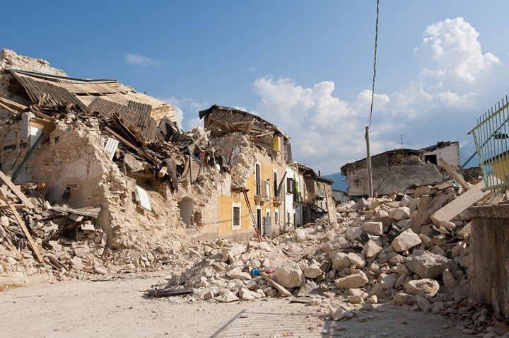
The damage caused by earthquakes can be difficult to assess sometimes. Earthquake damage assessment is essential, especially where there is a need to rescue people; the evaluation must be done accurately and as fast as possible. Remote sensing applications in disaster management use object-based image classification to get accurate results. In remote sensing assessments, casting shadows from buildings and digital surface models are also used.
12. Measuring the Rise of Sea Levels
Knowing the measure of any sea level makes it easy for scientists to determine whether the oceans are rising or falling over time. Human activities such as global warming can cause an overall rise in sea level. To understand the increase in sea level, you accurately measure good baseline spatial data using a remote sensor.
13. Geology
Geology is the general study of landforms, structures, and the earth’s surface to understand the physical processes that make up the earth’s crust. It entails exploration and exploitation of mineral resources, rock types, geomorphology, and changes from natural events like floods and landslides. Applications of remote sensing in geology include bedrock mapping, structural mapping, mineral exploration, environmental geology, and geo-hazard mapping.
14. Monitoring Active Volcanoes
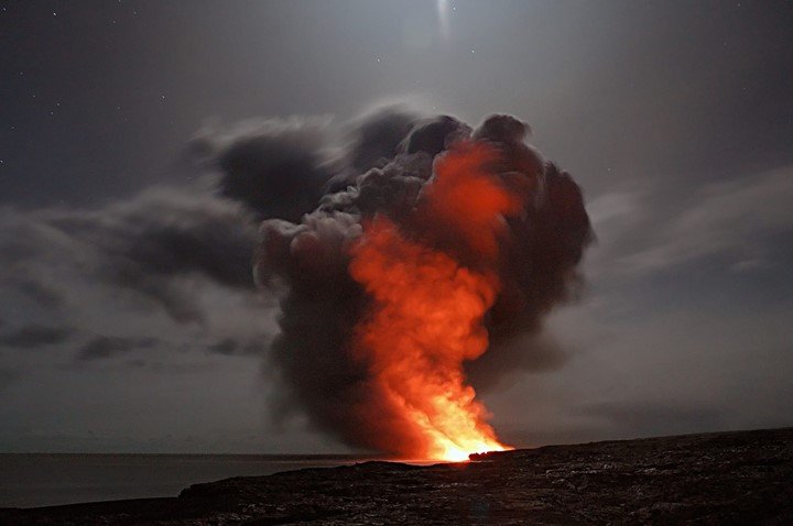
Volcanoes form when hot molten rock from the upper mantle moves to the surface. Such movements may result in eruptions which are very dangerous to human beings and the environment. Since volcanoes are inaccessible, remote sensing applications like thermal and mid-infrared provide solutions for understanding volcanoes. The sensors are also used to track, monitor, analyze and manage volcanic eruptions to prevent more occurrences.
15. Oceans and Coastal Monitoring
Oceans serve as transportation routes and are crucial in weather system formation and CO2 storage. They are also an essential link in the earth’s hydrological balance. On the other hand, Coastlines are environmentally sensitive interfaces between the ocean and land. Applications of remote sensing technology to both oceans and coastal monitoring in geography include; storm forecasting, water temperature monitoring, and ocean pattern identification.