Remote Sensing technologies can either be satellite or aircraft based on detecting and classifying death system objects and characteristics through propagated signals. It provides major advances in understanding climate system dynamics and its changes in the Spatio-temporal states of land, oceans, and the general atmosphere.
1. Monitoring vegetarian status
Vegetation involves a range of ecosystem services like food and wildlife shelter. Regulation of evapotranspiration controls the earth’s climate through evapotranspiration regulation and carbon sequestration. Life on earth is founded on the carbon cycle key to fuel, food, and fiber production. This vegetation degradation causes food insecurity threatening human survival.
2. Investigating global temperature trends
Evapotranspiration is crucial in the hydrological cycle of the planet. Therefore, High temperatures are likely to change the climate. Remote Sensing accurate temperature trends enable improvement in weather and climate forecasts.
3. Solar radiation monitoring
Tracking changes in Sun’s luminosity helps determine the Sun’s natural variation has led to a significant change in the climate.
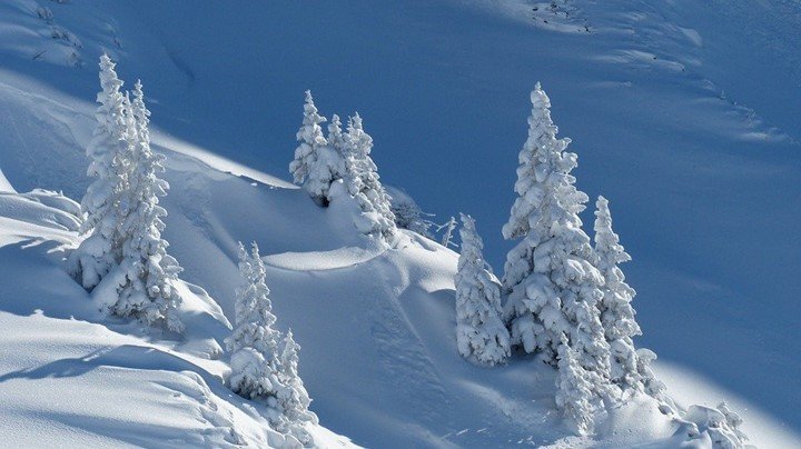
4. Monitoring Snow and ice

Retreating snow and ice cover is a crucial global warming indicator. Seasonal snow and ice cover cause positive feedback to the earth, and the latter contributes to a rise in sea levels.
5. Evaluating sea-level changes
Sea surface temperatures are key features in determining global weather conditions. Accurate information on sea-level temperature is necessary for connecting global temperature changes and their effect on total marine life abundance.
6. Predicting disaster risks such as floods
Climate changes like a rise in global sea level increase the risk of floods around the world. Therefore, remote sensing is an important element for delineating flooding zones and preparing flood hazard maps for vulnerable areas. Areas prone to flood are identified, and the generation of thematic maps begins. Remote sensing can be used for developing early warning and generated forecasting systems to reduce and manage climate-related disaster risks.
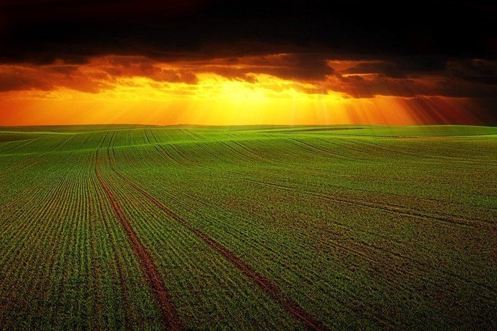
7. Management of agricultural practices

Remote sensing is useful in soil mapping, assessment of agro climate, suitability of land, assessing crop conditions, and irrigation management. In the face of climate change, these factors address food security.
8. Monitoring fire events and fire emissions
Remote sensing blended with spatial analyses helps determine the danger a wildfire poses, moving it from point-based estimation to spatially explicit estimation. It also provides an accurate assessment of burnt areas in the atmosphere with the gases emitted in the air. Post-fire environmental impacts such as erosion are also accounted for.
9. Monitoring aerosols and water vapor
Particles in the atmosphere, known as aerosols, generate cooling effects on the climate system, which counteract the warming effects of greenhouse gases affecting atmospheric radiation and the cloud precipitation process. Aerosols provide direct and indirect radiative forcing that significantly alters patterns of climate change. Water vapor is a crucial greenhouse gas contributing to the present-day global greenhouse effect. Climate warming increases atmospheric specific humidity, which amplifies global warming.
10. Improvement of climate projections
Collecting information is important for analysis that can be used to predict climate change patterns, giving room for early warning in case of disaster.


