Remote sensing is the technique used to record and take images of a thing or an area. In archeology (study of remains), remote sensing is one of the tools that has led to archeological activities and research. This technique allows archeologists to discover more hidden fossils unobtainable using other methods, and therefore, it is a vital tool.
Applications
In archeology, there are many applications of remote sensing. Some of them include:
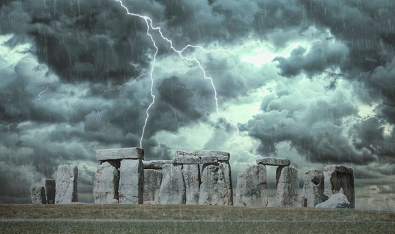
1. Monitoring sites
In the past years, archeological sites and monuments were monitored with on-site observation, which allows the archeologist to visit the site for monitoring. This proved to be time-consuming and led to the rise of remote sensing in the archeology field. This technique allows archeologists to monitor the site from any part of the world and thus saving time.
2. Locating archeological sites
To locate archeological sites, various methods are used to locate areas that contain fossils and old materials. Remote sensing is one of these methods. Images and information from sensors may be useful to archeologists and may create an archeologist site.
3. Documentation purposes
To preserve culture, many occurrences need to be stored through documentation and other relevant techniques. In archeology, data documentation is vital, and various contemporary techniques and methods are used to achieve this. Remote sensing finds it important here as it is used to image the sites and fossils to present in documents.
4. Mapping of the sites
During the mapping of archeological sites, this technique is largely used to determine the site’s total area and the features found around the site. This makes it possible for anyone who wants to know more about the site.
5. Ground classification
In archeology, remote sensing technique has proved to be helpful. The sensors used can detect settlements and classify and identify the un-vegetated and eroded sites on the ground. This information may be useful to archeologists in their planning and documentation.
6. Data capturing
During capturing the data concerning the site, remote sensing is the most appropriate technique to be used. Remote sensors have a higher ability to capture data within the visible spectrum than other data collecting techniques. Satellite multi-spectral sensors are mostly used in collecting data as they enable a more comprehensive analysis of the data.
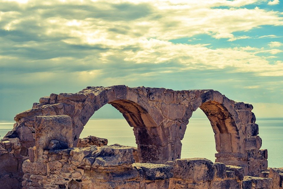
7. Protection of the archeological site
There many valuable things found on the archeological sites, and therefore there security needs to be maintained. To protect the archaeological sites, various satellite sensors are employed to oversight the site. Also, these sensors are more advantageous in protecting the sites as they have a wider and greater spectral range compared to aerial images. Therefore, the technique is used in the mapping of the subsurface remains and thus protecting the site.
8. Forecast of environmental change
Satellite sensors can detect and forecast weather and climate changes. This information may have a positive impact on archeologists in the decision-making and planning of the site. This greatly helps to minimize losses that would be incurred as a result of random weather changes.
9. Categorizing fossils
To document and understand fossils, they need to be categorized and be grouped according to their existence years, nature and type. This can be possible if remote sensors are used. They can scan and penetrate through various materials, thus deducing important information that archaeologists use to categorize the fossils and group them. Also, the sensor can be used to locate minerals from minerals.
10. Detention of new features
Remote sensing has been a key factor in the realization of new features and fossils. These sensors can detect unique features from a thing or material that the archeologist in their study can later use. Also, satellite sensors play a vital role in discovering hidden areas with a unique habitat, and this also adds to the list of archeological sites.
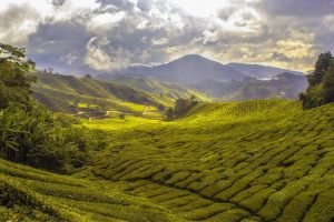
11. Archaeolandscapes studies
During the study of the landscapes related to archaeology, remote sensing is a vital tool. The remote sensors take images needed for study as they are clearer as compared to aerial space images. Sensors are also used to differentiate the types of fossils and materials found on the site, giving learners a piece of clarified information about the fossils.
12. Geological and mineralogical mapping
Geological and mineralogical are two important fields in archeology, and
remote sensing is applied in these two fields while locating an archeological site. For example, the remote sensing technique is largely used to detect minerals compounds and resources and differentiate different geological structures.
13. Measuring of objects
Space-borne and airborne instruments are used to take images of things and objects without contacting them. The images taken may further be used to estimate the length or width of a given object. Through this, remote sensing technique has simplified the work of archaeologists and thus saves time used to carry out more research.
14. In the study of the composition of the surface
The airborne sensors can detect the composition of the earth’s surface by examining the sunlight rays. The earth’s surface always reflects the spectrum of the sunlight; since the sensors are located above the ground, they can detect and examine the rays. The spectrum detected by the sensors may be of great importance to the archaeologist. They may reveal traces of old fossils and human activities, thus creating a new archaeological site.
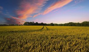
15. Examining soil texture
When locating a new site, soil texture is one of the factors used to attest an area is an archaeological site. The sensors indicate different soils texture by fractional temperature variations, and thus it is possible to identify the loosest soil that indicates pre-historical fields.