Coastal ecosystems exhibit extreme changes in areal extent, spatial complexity, and temporal variability. Therefore, protecting the ecosystems requires the ability to evaluate and monitor these features at high resolution. Remote sensors measure these changes at appropriate scales, which is crucial for the economic development and restoration of the coastal zones because of their rich natural resources and vulnerable ecosystems.
1. Coastal habitat studies
Coastal habitat consists of the coastal reefs, and knowledge of the conditions of the coastal reefs is useful in protecting the fragile ecosystem through preventative measures. Coral reef features such as degraded reef can easily be mapped out by remote sensing. In preserving the ecosystems there are protected areas. Remote sensors monitor such areas to assess the impact of conservation measures.
2. Protecting the shoreline

The major requirements of remote sensing in coastal management are understanding the coastal processes such as sea-level changes, erosion, and deposition that modify the shoreline. Thus, accurate information collected on the changes in the shoreline help in analyzing the coastal. Processes are occurring.
3. Mapping coastal wetlands and watersheds
Remote sensors can monitor how the land cover is changing in coastal watersheds. In determining that, it is possible to predict the amount and type of runoff into rivers, bays, and estuaries and how these ecosystems will be affected.
4. Ocean chlorophyll and productivity monitoring
Coastal waters are large and complex, making it difficult to monitor them with ships alone. Remote sensing is cost-effective in such areas where key properties such as ocean color and productivity are acquired.
5. Monitoring Sea surface temperature
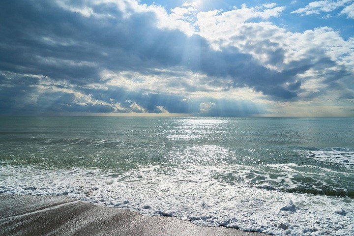
Accurate observations on sea surface temperature are crucial in coastal management. Sea surface temperature is necessary for the estimation of the source of heat at the air-sea boundary.
6. Monitoring sea surface salinity
The salinity of the sea surface is crucial in determining the water balance globally, estimation of the evaporation rates, and understanding ocean currents. Low sea surface salinity is an indicator of freshwater sources.
7. Detecting and tracking oil spills
Oil spills are destructive to both marine life and wetlands habitat. Remote sensors provide information for tracking and predicting the future movement of oil spilled reliably, helping rescue efforts that include skimming vessels and protective booms.
8. Modelling coastal process
Remote sensors monitor and evaluate coastal changes and come up with interventions within and across the shore to arrive at more desirable ends while managing the coastal zones.
9. Assessing marine water quality
Remote sensors detect discharge of sewage, land use, sea dumping, and maritime transport. This helps the remote sensors father the nutrient load in the coastal waters and the possibility of pollutants in the water.
10. Tracking Marine fishery
Remote sensors provide a basic understanding of aquatic systems. This can track marine animal movements and migration. Fishing is also important, and the assessment of stock is crucial in conserving marine living resources. Accurate information on marine living resources is required in achieving the full potential of the commercial fishery.


Maxwell Moreira Baia
31 Mar 2023Muito obrigado, sou pesquisador na Foz do Rio Amazonas. Abraços!