Remote sensing is the investigation, acquisition, and processing of information about an area of interest without contacting it. It has been used in environmental sciences to capture images of the Earth’s surface acquired from sensors mounted in the air or space platforms. These images have been used for mapping the distribution of forest ecosystems, the 3D structure of forests, and measure the global fluctuations in plant productivity across different seasons.
Remote sensing has made it possible to consistently and repeatedly monitor forest characteristics in qualitative and quantitative ways. Such data collection and reporting are a significant factor that assists in research and development processes. It also makes it easier to integrate forestry with other agencies. Nowadays, remote sensing is applied in different areas of forest management. The article below discusses these various ways.
1. Forest conversion studies
Using remote sensing satellites has helped provide spatial change maps for the forests. It has made it possible to determine, monitor, and curb forest destructions and encroachment. Achieving this has become possible due to the data gathered from the multi-temporal satellite and digit analysis during remote sensing. Furthermore, image differencing methods and logical operations have been adopted to ascertain the extent of forest degradation globally.
Having such possibilities, specialists and researchers can use such data to suggest recommended solutions for how to curb forest degradation and encroachment.
2. Mapping

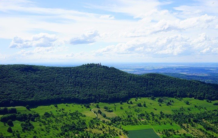
Remote satellites have made it possible for geographical sizes of forests to be determined and maintained. The satellites gather data like; forest cover types, forest density and height maps, tree composition, thinning volume estimation, etc., which have been crucial in determining forest land distribution. Mapping data is extensive. Hence, it has provided opportunities for researchers to study such data and delve deeper into botanical studies.
3. Quantitative Estimation and monitoring of forest cover
Remote sensing measurements have made it possible to understand the forest ecosystem functions and processes through various variables. Variables such as vegetation chemistry and moisture, biodiversity, soil characteristics, and vegetation structure make it possible to classify forests into specific biomass and communities. Keeping track of such variables helps specialists formulate policies that protect the forests and environment at large.
4. Forest fire damage

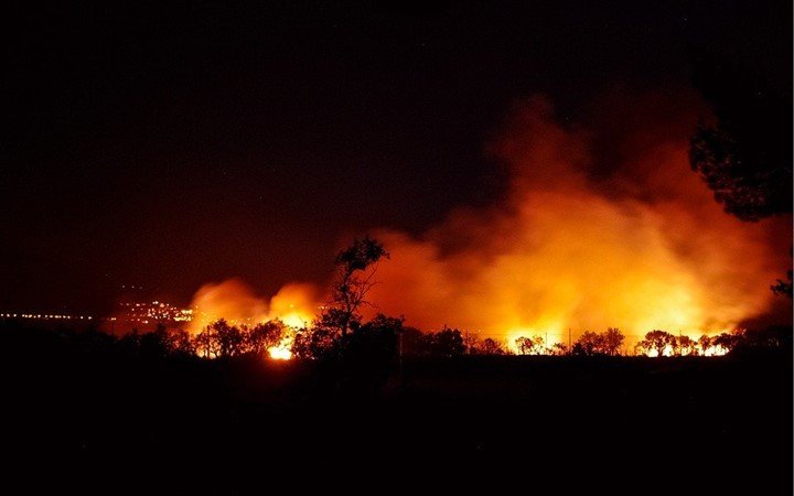
The use of remote satellite sensors has been beneficial in identifying and assessing forest ground fire-damaged areas. Apart from this, using satellite sensors enhances the capability of identifying hot spot areas in the forests that are annually prone to fires. Collecting such data is of importance in forest management. It makes it possible to come up with fire operation measures during such periods.
5. Forest surveillance
Using remote sensing helps in keeping track of forest resources and how to manage them. For example, we can track how the environmental factors react to specific forces within the environment, like thermal energy. Day-to-day surveillance of the forests is critical for determining potential risks and overall forest health. Climatic changes and their impact on the forests’ are easier to monitor when conducting remote sensing forest surveillance. All this helps to support forest management and conservations in various parts of the world plagued with environmental issues.
Final Thoughts
The world has a lot of forest-covered lands. Not only are these forests beneficial to the environment but to all people. Integration of remote sensing into forestry management ensures that our forests continue to get protection. It also helps researchers channel their resources to areas that need more attention to ensure continued productivity and safety. Maintaining the health of the forests provides ecological and environmental benefits.


