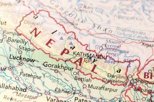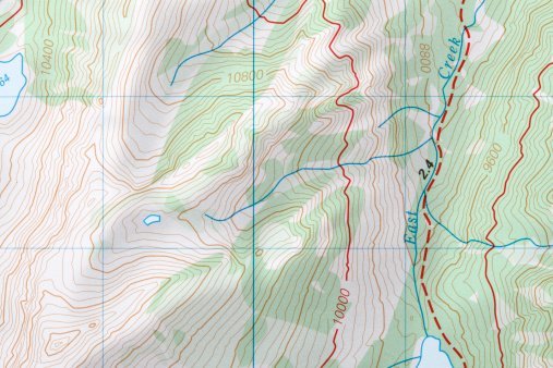
A contour is an imaginary line connecting two points with an equal elevation. Therefore, a contour map is a type of map that is made up of contour lines. Contour maps are helpful in engineering works and help in determining the elevation of terrain at different points. This article will examine the uses of contour maps in Civil Engineering.
They include:
1. Nature of the Land
The nature of the ground is a critical component in Civil Engineering works. Before any engineering work is initiated, the contour maps must be consulted. These maps help visualize the terrain of the land in question, and this helps engineers determine the nature of the ground.
2. Estimating Earth Works
Contour maps help estimate earthworks. Earthworks include road constructions, dams, railways, and other civil engineering work. The use of contour maps has eased the process of monitoring and tracking the construction proceedings. Similarly, these maps can estimate the budget and resources needed for civil engineering projects.
3. Determination of the gradient of the ground
The gradient of the ground plays a vital role in supporting civil engineering works. To determine the gradient of the land, civil engineers use contour maps to check the elevation of two points in the area of interest. In addition, these maps are essential in analyzing the parts of the land that support civil engineering works.
4. Suitable sites
During highway and road constructions, contour maps are used to locate routes. These maps provide helpful information that shows the gradient of different sections of the land. The gradient’s information is used to locate parts of the land that can be used as routes.
5. Land Documentation
The process of documenting a given land employs numerous components. Contour maps, for example, have a massive role in determining the nature and terrain of the land in interest. Therefore, these maps provide helpful information that can be used to analyze a given land.
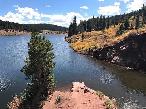
6. Capacity of a reservoir
Contour maps ease the process of determining the capacity of reservoirs. Civil engineers can use the contour map information to design the bridge quality needed. The contour lines in the map in estimating the capacity of the reservoir in question.
7. Intervisibility between points
Contour maps are the best for examining the intervisibility between two points. In this type of map, there are contour lines drawn on a plan surface and can be used to check the intervisibility of two areas.
8. Levelling of Roads and railways
Contours maps help in finding the level of the road/railway. The contour lines in the maps display the elevation of the land in question. The information derived from these maps is used to decide the land’s cutting and filling levels.

9. Determining Drainage area
Contour maps are used to identify the water catchment area. There are watershed lines in these maps, representing the drainage area. Therefore, the information helps determine areas suitable for civil engineering work.