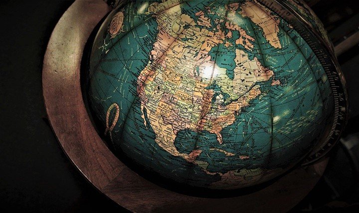
Geographical involves the study of places and their relationship to people and the environment. It has branches such as human geography, geomatics, physical geography, regional geography, integrated geography, and cartography. Geographical studies seek to know the location of things, reasons they exist, their development, and changes over some time. This makes geographers explore physical features and societies on the earth’s surface. For this reason, geographers need GPS to explore the landscape. Keep reading to know various applications of GPS in geographical studies.
1. Decision making
It is hard to make the correct decision with the rise of diverse problems. Wrong decisions can cause consequences thus it should be accurate. After geographers have explored different parts of the environment, they use a global positioning system to make decisions. The tool gives highly accurate data that you can use to get the right answers on the occurrence of natural disasters such as earthquakes, landslides, and tsunamis.
2. Collect accurate data
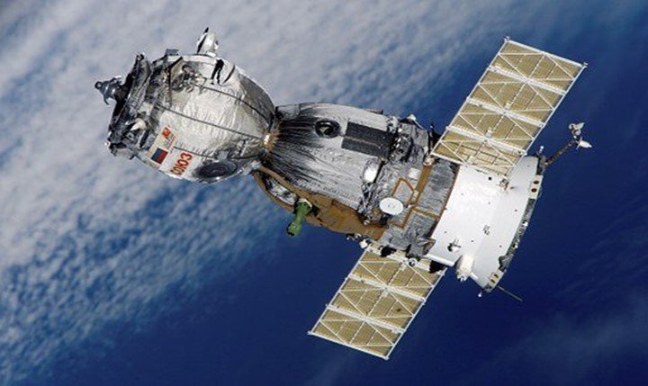
Traditionally geographers could not collect efficient information. The global positioning system receiver uses signals from satellites to give accuracy. It collects accurate and efficient data. Besides that, you can use GPS to create dictionaries for collecting data efficiently. This makes it to be a reliable tool for geographers who are carrying out fieldwork.
3. Monitor environmental changes
Environmental changes are caused by natural disasters and human activities. These changes include a shortage of freshwater, climatic changes, pollution, mining, deforestation, and loss of biodiversity. The global positioning system has become the main tool for monitoring environmental changes. It gives geographers a warning before the changes. This helps authorities to warn people and government.
4. Track animals
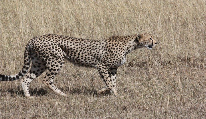
In the past years, geographers had one only way to track by following and observing the animals. Also, they could put a tag on the animal until it is recaptured. Researchers were not sure if the animal will be captured for the second time. Today, geographers use a global positioning system to determine the migration of animals. The GPS is put on the animal’s body to track the animal’s movement at any time. Furthermore, geographers can know the kind of habitat they use and the size of the range. This important information helps to control the population by allowing reproduction.
5. Improve travel
Before the development of the global positioning system, individuals had a hard time when navigating. People had to use physical maps to navigate in a harsh environment. Physical maps are not effective because they can get damaged easily. GPS helps in moving from one unfamiliar place to another hence removes risks of missing. On top of that, it has made travel to be easy.
6. Improve harvest
GPS enables the study of soil samples to determine rich-fertile lands. Other applications in the farm are crop scouting, guiding tractor, mapping field, and mapping yields. This land practices help to improve a farmer’s harvest.
7. Determine location
The device communicates with the satellite to determine a precise position. You will be able to get a distance of reaching your destination.
8. Map physical features
Physical features such as mountains, lakes, hills, oceans, seas, deserts, and forests can be put on the map. GPS enables geographers to locate the features accurately.
9. Gauge effects of erosion
Soil erosion makes the land to be unfertile. GPS monitors soil erosion of a place.
10. Prevent natural disasters
Natural disasters have become a common cause of death today. This technology is installed on the ground to determine natural disasters before they happen. Early warning saves people’s lives and property.


