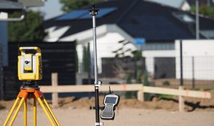
The global positioning system does not only offer a significant impact on navigation but also engineering surveying. Engineering works frequently take place in the complex as well as the unfriendly surrounding. This makes it difficult for workers to operate effectively. GPS has changed significantly the engineering industry. Here are the top applications of GPS.
1. Remote sensing
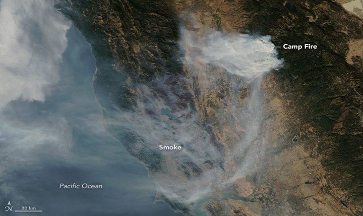
Remote sensing is a technology that gathers information about an object. GPS helps to give information on land, terrain, hill, and topography without physical contact.
2. Mineral mapping
GPS has been used successfully to monitor mining areas and subsidence of oil fields. In other cases, GPS is supplemented with other systems like total stations or INS to work effectively.
3. Urban development

The world continues to focus on effective urban planning. Nonetheless, the issue of development becomes complex. GPS serves as a modeling and analytical tool for urban planning. It is applied in various ranges of applications. GPS address problems such as simple and complex models. Moreover, it identifies a suitable place to construct a dam or bridge. Smaller structures including hospitals and schools can take place with the help of GPS.
4. Analyze watershed
Surveyors use GPS to locate coordination as well as make water maps resources. It collects the date of dams, rivers, basins, and other water resources. The data is linked with a database that is helpful for other purposes. For instance, planning engineers use the date for various hydro projects.
5. Transportation
GPS assist planning areas through reviewing existing infrastructure like surveying the roads. A combination of GPS, computers, and wireless communications is used as a foundation of works such as pile positioning as well as exact structural placement. In such applications, operating machines are controlled through computer displays hence removes conventional methods. Moreover, GPS monitors the stability of structures.
6. Monitor pollution
It is important to do anything possible to lower the pollution of the earth. However, it may be impossible when you are in engineering works that need a large fleet. GPS tracking systems contribute to battling against pollution. Managers can now limit destruction to the environment. Besides, you can educate your workers on better ways to monitor pollution.
7. Landfill site selection
A great increase in residential, commercial, and infrastructure development has harmed the environment. One of the common impacts is the dumping site on unsuitable areas. GPS is used to locate a suitable dumping site. It helps to reduce the consumption of time and improves accuracy.
8. Assess natural hazard

GPS estimate magnitude low flow events and high flow events. It determines areas that are highly prone to floods. Also, it identifies places with high potential erosion through deriving physical characteristics, soil data, and perimeter.
9. Accuracy
GPS position information and computer display are used by the operator to view if the correct grade is achieved. GPS is integrated with beam lasers in situations that require millimeter-level elevation.
10. Tracking
GPS is used to track location and how equipment should be used at various sites. This is done by sending information into the central area. Engineers can also get GPS based equipment; such tools can be tracked rather than wasting time to look for them.
11. Deploy equipment
GPS helps contractors to test the efficiency of the equipment. Also, operators use it to guide machines to their destinations.


