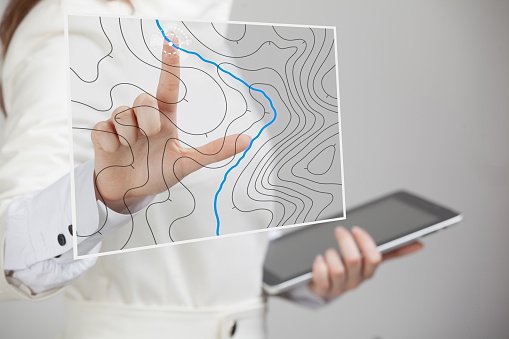
Accurate distance and angle measurements on Earth’s surface are the focus of land surveying, both an art and a science. The precision of survey measures is affected by several variables, and even a small inaccuracy might have far-reaching consequences for the design. Using a GIS makes data collecting, planning, and management much more efficient. The following are examples of how GIS can be used in surveying.
1. Provides reliable records
Having reliable context is essential for making informed decisions about the viability of a project idea. Information such as administrative boundaries and physical geography can be found in GIS geographic records and used to influence project outcomes.
2. Enables reliable decision-making
To make educated decisions about the placement and design of the construction industry, a variety of data is needed, including information about zoning restrictions and environmentally sensitive areas. More precise planning that considers geography, population, and ecology will be made possible with the help of GIS.
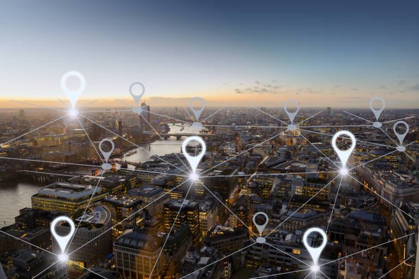
3. Planning in Urban areas and towns
Planners for the future metropolis, including developers, builders, architects, and engineers, are increasingly turning to spatial data sets. Engineers and architects may easily ensure that no details are overlooked using fine-grained data. Organizations and businesses in the construction industry also use GIS information and resources while plotting out new megaprojects. If you live in an area prone to flooding and cloud bursts during the monsoon season, this data will come in handy while attempting to clear up any clogged waterways. Additionally, it has aided in the reformatting of drainage models.
4. Disaster management
Locations likely to be affected by natural disasters can be tracked in real-time using a GIS. Using geospatial databases and data sets, businesses can keep track of information at every possible level. The database may include details about vulnerable locations, such as hospitals and isolation centres close to vulnerable zones, rapid habitation centres, disaster history in the area, and the aftermath of previous disasters so that appropriate measures may be taken in the future.
5. Detecting volcanic and earthquakes
The locations most at risk from volcanic eruptions and earthquakes are where remote sensing and GIS are employed the most. Organizations and municipalities in any city or administration can be ready for the worst and mitigate its effects with the help of both technologies. Having a GIS on hand during a crisis will help people be more aware of their surroundings, and better prepare themselves for whatever may come.
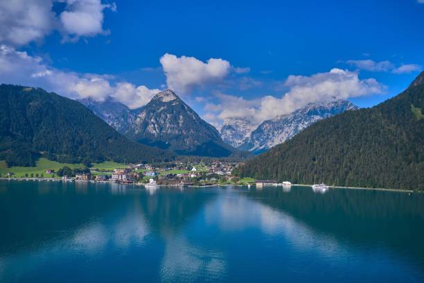
6. Location of Dams and reservoirs
The optimal location for a reservoir and dam can be determined with the help of geospatial data. Many issues, including economics, ecology, and engineering, must be considered when deciding where to build a dam. All the relevant information is contained in geospatial data. Therefore GIS can be used in advance of any big engineering works.
7. Deforestation and forest fires management
Governments and groups can monitor the rate of deforestation by using GIS and geospatial data on forest lands. Analysis of historical data from various periods is applied to present-day reforestation and vegetation planning. As deforestation rates rise, governments worldwide are starting to keep closer tabs on information about forests and trees.