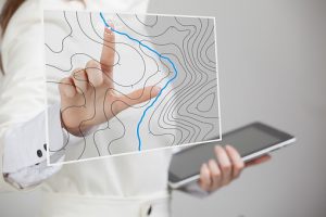
GIS has traditionally been used for monitoring and studying wildlife habitats. Using a GIS, we can learn more about the planet and how its physical processes and characteristics influence human actions. By categorizing information based on where it was gathered, we gain insight into the relationships between different systems and their components. In wildlife management, GIS can be used in the ways listed below.
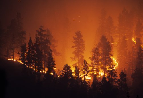
1. Monitoring Forest Fires
The application of GIS technology allows for the control of wildlife dangers. In the case of forest fires, indices have been developed to track the interplay between different types of land cover, proximity to highways, elevation, slope, and other characteristics to calculate the risk of forest fires in a given area; these variables and their associated data come from remote sensing.
2. Boosting wildlife conservation efforts
Given the increased visibility of threats to animals, conservation efforts to lessen those threats and increase species’ chances of survival have also gained prominence. Geographic information systems (GIS) have been used to determine which locations are best suited for establishing species or animal corridors, which can lead to the development of bigger and more sustainable communities. The software would aid in modeling or identifying potential hotspots for developing migratory corridors necessary to protect species from locations where their groups have been fragmented.
3. Tourism Information System:
Using GIS, one can access various useful approaches and technologies that can be applied toward sustainable tourist development. These features provide a great platform with the resources to improve knowledge and meet visitors’ needs. They can find all they need with just one click, including distance, location, lodging, dining details, and links to these places. The success of the tourism business is directly tied to the information available to travelers. There are several ways in which this can benefit visitors and the tourism industry as a whole.
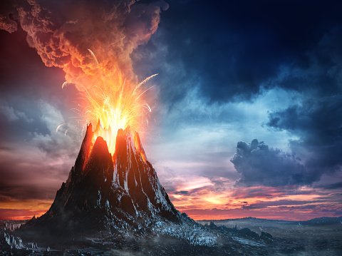
4. Volcanic Hazard Identification:
Hot avalanches, hot particulate gas clouds, lava flows, and flooding are just some of how volcanoes threaten human life and the environment. Historical records of volcanic activity have distinctive patterns that GIS can use to identify areas at risk from volcanic eruptions. As a result, in highly populated areas, an impact assessment study on volcanic risks addresses issues of monetary loss and loss of life and property. Using GIS-based systems, we can assess the damage caused by volcanic events and respond swiftly to mitigate the danger posed to humans and wildlife.
5. Deforestation:
Nowadays forest area is decreasing every year, due to different activities. GIS indicates the degree of deforestation and vital causes for the deforestation process. GIS is used to monitor deforestation.
6. Desertification:
As a result of climate change or human actions, land can deteriorate into a desert. Either government agencies or communities can maintain degraded terrain with the help of GIS. Local governments increasingly rely heavily on GIS to combat desertification, largely because of GIS’s crucial role in this fight. Using GIS analysis of a certain area’s location, we can determine the best spots for new plant life and pipeline building.
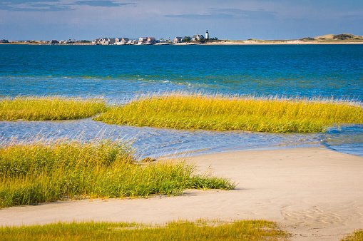
7. Coastal Vegetation Mapping and Conservation
Coastal vegetation, such as mangroves, protects the shore from natural risks such as tsunamis, making preserving these plants crucial. GIS allows us to map which regions have a greater density of vegetation and which require additional vegetation. Incorporating these characteristics into the mapping of coastal zones helps identify areas prone to coastal erosion, allowing us to plant more vegetation to prevent coastal erosion and preserve species.