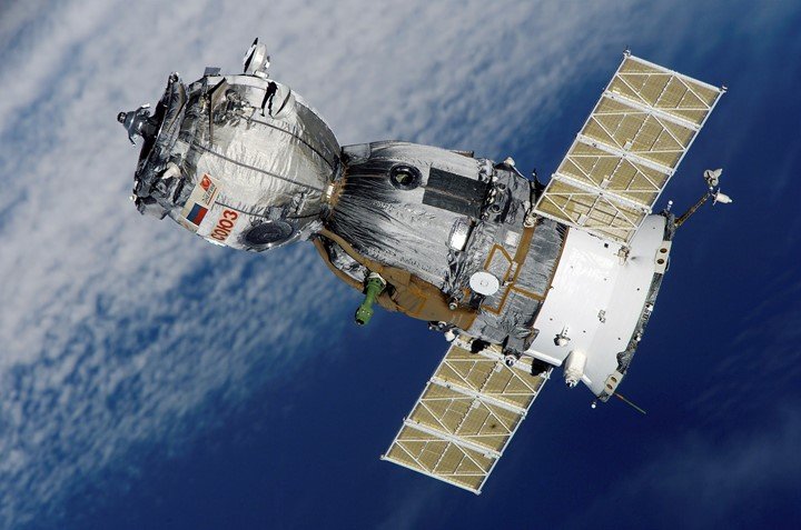
Applications of Remote Sensing in Topography
Topography is the arrangement of the natural and artificial features of an area. It is also the study of the forms and features of land surfaces that refers to the…
Geoscience involves the study of the earth and all its components. To map the earth's surface, geologist employs numerous tools. These tools depend on the data to be collected and…
A flood is a common natural disaster that is hazardous. There are 'thousands' ways that can be sued to control and manage floods. Did you know that a remote sensing…
In the recent world, fishing has emerged as one of the top economic activities. Human beings depend on seafood to supplement their diet. Fishers require timely information and data to…
To get a deeper understanding of the environment, different methodologies are used. Ecology has proved to be the best method of studying the environment and examining all its components. In…
Technological advancement has brought new methods and tools to curb the deforestation issue. One of the greatest tools that can be used in this field is remote sensing. Remote sensing…
During the process of constructing a dam, various tools are involved. All the involved tools are geared towards ensuring the dam is located in a suitable location and can satisfy…
Remote sensing is the art of observing, collecting, and processing information about an object through data collected from air or space surveys without coming into contact with that object. Remote…
Remote sensing imagery always covers a large geographical area with high temporal frequency. To easily understand and derive land use and land cover information, there is always a need to…
Spectral imaging was first introduced in the early 1970s and was mainly for military applications. It was originally referred to as multispectral. Due to the increase of spectral bands and…