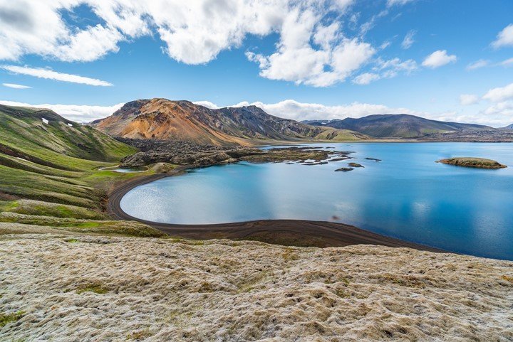
Tourism is travel for pleasure or business. It can also be described as the theory and practice of touring or the business of accommodating, entertaining, and attracting tourists. The GIS in tourism uses remote sensors that allow tourists to get a unique overview of the destination they are going to and use it as a planning tool for their safaris. Remote sensing techniques have improved the tourism sector in many ways, some of which will be discussed in this article.
1. Plotting our landmarks in tourist maps
Remote sensors have come in handy in plotting maps for various tourist destinations worldwide. This way, tourists can find their way or locate tourist destinations in various parts of the globe. The maps are also simplified for the reader to understand them better.
2. Finding the perfect sunrise and sunset

Most tourists find perfect sunrise and sunsets quite relaxing and interesting. The best sunrise and sunset horizons are captured through remote sensors and GIS technology. This technology also calculates the horizon is blocking lines in all directions of a given destination.
3. Linear referencing
The use of remote sensing technology makes it easy for tourists to track volumes of organic debris during their escapades in various parts of the world. The satellite remote sensors also help find uninhabited islands worldwide that tourists can visit.
4. Locating and identifying time zones.
The GIS and remote sensing technology can locate and represent time zones across different areas in the world. Tourists use this information to determine the time of their destination or any other travel place.
5. Virtual Travel
Remote sensing technology lets tourists see and explore destinations before being physically there. Tourists are thus able to view their destination before actually traveling there. They can even plan where they will travel by choosing from the suggested destinations.
6. Hotel search
Remote sensing and GIS technology are useful in searching and finding the best hotels that can accommodate potential tourists within a circle radius. This makes it easy for tourists to find the right accommodation during their travel.
7. Tracking of migratory birds

Migratory birds attract tourists from all over the continent. They are interesting and fun to watch. Birds travel long distances in search of food, warm climate, and escape predators. Lightweight GPS is one of the tools used to know where birds migrate to. The migration patterns of birds and other animals have become important to wildlife managers since they attract tourists. All these predict the migration and prevalence of birds, thus encouraging tourists to visit those places.
8. Exploring the Earth from space
There are many tourist destinations on Earth. Some of the best views are from satellite images. Some tourists are excited by some of the most intriguing patterns of the Earth, such as the oceans, atmospheres, and land features. These images are easily captured through the satellites in space by remote sensors.


