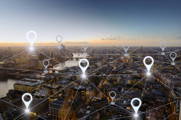
Mobile mapping collects spatial data like a vehicle or any other airborne device from a mobile platform. It is more accurate than other mapping methods and involves sensors like GPS, LiDAR, and Radar. Mobile mapping technology has a range of applications in improving construction and inspections. Below are some of the applications of mobile mapping:
1. Environmental Monitoring
Most mobile mapping tools are airborne devices. Thus, researchers can rely on these devices to provide real-time information about the environment. When used in this context, mobile mapping devices are equipped with computerized tools that aid in analyzing varying environmental conditions. Similarly, mobile mapping tools can be used to monitor areas with calamity.
2. Site documentation
In cartography, the mobile mapping technique is the primary spatial data source. The spatial data collected using this method is more accurate, and thus it can be helpful in the site’s documentation.
3. Estimation of Distance
Mobile mapping mounted on vehicles can calculate the distance between two points. When used for this purpose, vehicles are equipped with Global Positioning Systems (GPS) that track the vehicle’s movements. The device provides information that can be used to estimate the distance and relationships between two geographical components.

4. Analysis of infrastructure
To determine the gradient of the land, civil engineers use mobile mapping technology to check the elevation of two points in the area of interest. In addition, this mapping system is essential in analyzing the parts of the land that support civil engineering works.
5. Surveillance and Security
Airborne mobile mapping devices can be used to enhance the security of an area. Since they are portable, they can be used to monitor and provide real-time information about the area in question.
6. Construction site monitoring
The mobility nature of mobile mapping has vast applications in the construction field. During the initial stages of construction, the mapping system is used to survey the topography of the land in question and the condition of the soil. Then, during the construction phase, the technology is used to monitor the progress and guide the engineers.

7. Traffic management
Traffic congestion can make your journey boring and long. However, with the mobile mapping system, you can avoid all these downsides. Mobile mapping system examines and analyzes the traffic conditions of highways. The airborne devices used in this technology help in providing real-time information about the traffic condition of the road.
8. Industrial Inspection
Mobile mapping has improved the methods of inspecting industries. Today, the government uses a mobile mapping system to monitor industries’ operations and meet industry regulations.
9. Mapmaking
In geography, maps are essential components. However, to make these maps, mobile mapping technology is helpful. This technology provides the information and data needed in the mapmaking process and the positional relationships.
10. Analyzing Natural features
Studying and analyzing natural features is a key area of study in geography. However, it would be challenging to study and analyze these features without mobile mapping technology. Today, geographers can easily monitor natural features using airborne devices.