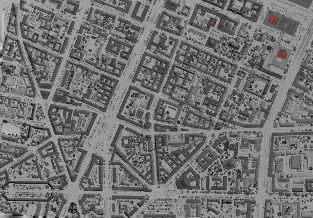
LiDAR is a method for determining series by targeting a surface with a laser and measuring the time taken for the reflected light to return to the receiver. Lidar is an abbreviation for ‘laser imaging, detection, and ranging.’ Sometimes, it is called 3-D laser scanning, a combination of 3-D and laser scanning. Lone can easily integrate lidar-derived products into a Geographic Information System(GIS).
1. Mapping Risk Trees
LiDAR data is used to map trees posing a potential risk to structures. Building polygons inputted into a Euclidean distance tool to create a distance raster is used in this process.
2. Green Energy – Measuring wind speed
LiDAR can be used for accurate and efficient wind speed measured by projecting the laser light into the air and calculating the dust particles’ rate.
3. Measuring slope
LiDAR data profiles can provide a valuable measurement of the slope. Here the percentage slope is calculated by dividing the vertical slope change by the horizontal distance.
4. Performing feature proximity
ArcGIS provides another tool in the LAS Dataset Layer classification section, feature proximity. The tool allows users to classify LAS points based on proximity to input features.
5. Digital Elevation Model(DEM)
DEM is a raster representation of the earth’s surface. Users know the elevation at a point using the data stored for each pixel, and the value is usable within the DEM’s symbology in visualizing display elevation. DEM can be used for analyses like a line of sight analysis, geomorphological analysis, and hydrological analysis. LiDAR data are often used to create DEM rasters. ArcGIS provides a straightforward process for developing a DEM from the LAS dataset.
6. Digital Height Model(DHM)
DHM is a raster containing values of each pixel off the ground height. Using DEM data and the digital surface model(DSM), a DHM can be calculated. Digital Height Models can be used to create 3D urban models, flooding models, and forest volume analyses. DHM is calculated by subtracting DEM from DSM, made similarly to the DEM, except that it uses all the points from the LAS dataset, and a maximum is selected from the cell assignment.
7. Measuring height
ArcGIS allows the creation of profile views of LiDAR data. The vertical measure tool is used to measure the sizes of features. Once the measure tool is open, the user selects 2 points; one returns at the top of the feature, and the other near ground return.
8. Intensity
LiDAR point data includes information other than the elevation values, one of which is the intensity value. When using intensity value in the conversion of the LAS dataset to a raster, the display reveals the intensity by which the target surface reflects the light to the sensor. Intensity sensors can aid in; feature detection and extraction and lidar point classification and can substitute aerial imagery.
9. Mapping buildings
Polygons created using LiDAR point cloud data are classified into buildings based on a minimum rooftop height and area, then the points are segregated into their dataset layer. The dataset is then converted into a raster with values set to one before being converted into polygon datasets.


