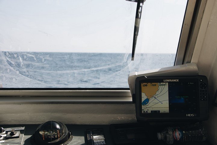
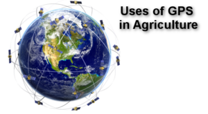
Global positioning system has become essential to many sectors that are in the transport, military, and marine among others. Its ability to locate accurate coordinates of objects makes it more important as this feature has enabled efficiency in some gadgets and has saved lives on the process. In marine for example navigation is crucial, GPS has made it simpler as it helps the sailors to navigate easily at sea and also by measuring speed.
1. Underwater surveying
GPS is essential for its accurate and reliable data and for that it used for surveying and mapping various activities. Vessels used for surveying are combined with GPS positions which help the mariners to get the depths and dangers of the underwater. Bridge builders have also used the GPS for surveillance of the underwater. The GPS also makes the work of the surveyors easy as the work they would have done in weeks, can be done in a day.
2. Buoy placement
A buoy is an object that is put in the middle of seas to acts as locators and warning points for ships. GPS is fundamental as it is incorporated into the floating buoy and helps mariners to determine better water level models. The GPS data provided is real-time, accurate, and helps in detecting directional changes in water.
3. Navigational hazard location
According to maritime experts, navigational hazards are things that a sailor may likely hit at sea. GPS is essential as it easily shows the exact locations of underway objects example a buoy which one may sea and evade.
4. Mapping commercial fishing fleets
Maritime poaching has become a threat to sea life therefore GPS tracking systems are installed to commercial boats to ensure they don’t fish in restricted areas or during forbidden times.
5. Navigation to optimal fishing locations
The feature of locating exact coordinates of GPS, helps fishermen to know the precise fishing grounds. GPS is mostly helpful in navigation and fishermen use it at their advantage to use its data to locate the fishing locations.
6. Tracking fish migration
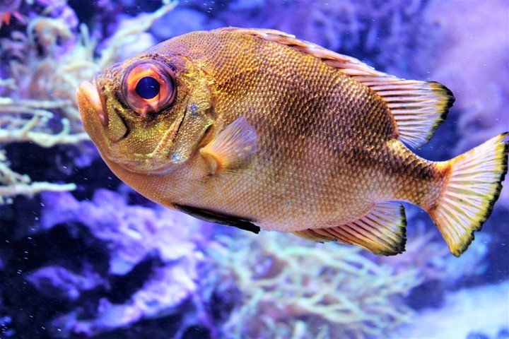
Researchers use GPS stored in fish to monitor their movements as it shows the exact place and time of the fish. Fish behavior is determined as well as their migratory pattern which is important information for marine researches.
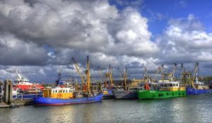
7. Management of maritime port facilities
Containers with GPS are easily monitored from their points of entry at the ports which reduces the number of lost shipments and the cost of retrieving them.
8. Vessel traffic control around busy seaways.
GPS technology has enabled the ports management and the government to monitor the position of ships and containers hence increasing security.
9. Increases safety and security for sea vessel using AIS
Sea vessels are monitored by the use of GPS positions which show the movements of the vessels at all times. Automatic Identification System is a system integrated with GPS which improves the efficiency of safety and security for sea vessels.
10. Allows access to fast and accurate position course
As a tool GPS locates the exact coordinates of objects in this case it tracks the ships very fast and helps the maritime management in sending rescue teams in case of accidents in the seawaters.

Onyebuchi
25 May 2022What is the ONE thing that GPS can do that every other navigation equipment on the bridge can not do onboard?
robbers alice
3 Mar 2023The most important fleet management software https://fluix.io/industry-marine features include route optimization, fuel management and vehicle maintenance. These features help your company save money and improve productivity.