The Global Positioning System (GPS) has gained massive popularity in many industries. Civil Engineering is one of the industries that largely rely on GPS data. Besides it often involves working in an unfriendly and complex environment that makes it for engineers to work smoothly. However, GPS provides real-time and accurate data hence boosting their productivity even in these harsh conditions.
Fleet management, earthmoving, and road construction largely depend on GPS devices for centimetre-level accuracy. Wireless communication is integrated on these devices to help GPS gather accurate data.
1. Environmental monitoring
Civil engineers monitor the environment keenly before setting up a project. This is because the environment can impact the project positively or negatively. Also, in the efforts to reduce environmental pollution, the government uses GPS to monitor pollution. Civil engineers have to make sure that the project can fit in the provided location before commencing with the project.
2. Land seismic surveying
Oil and gas exploration largely depends on GPS data. For example, civil engineers have to carry out subsurface geology first to identify the perfect spot to drill. Also, Marine seismic surveying can be applied by civil engineers as they seek to study the composition of the subsurface rocks. This is done by sending low-frequency acoustic energy below the subsurface rocks. Both land and marine seismic is falling under the same category of seismic engineering.
3. Deployment of equipment/ machines

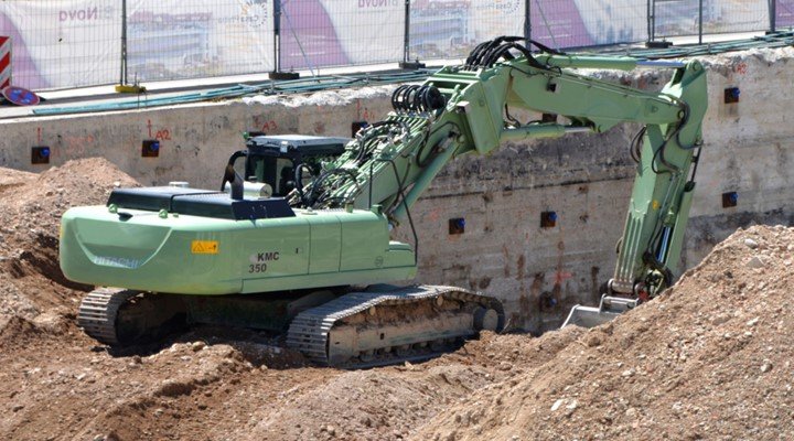
Civil engineering usually incorporates large projects that rely on machines. The supervisors use GPS to track the location of these machines. Also, the can deploy the equipment to different sites with the help of the GPS.


