
Special Purpose Map Definition: Special purpose maps are designed or created for the special purpose. They are not standard map, specialized map displaying particular information. For example a DEM (digital information model) which shows only the elevation value is a special purpose map where as a political map might show river, height info, roads, city name and so on is a standard map. In a special purpose map information are not cluttered rather it is focus on one subject where as standard map have tons of information on it.
Types of Special Purpose Maps
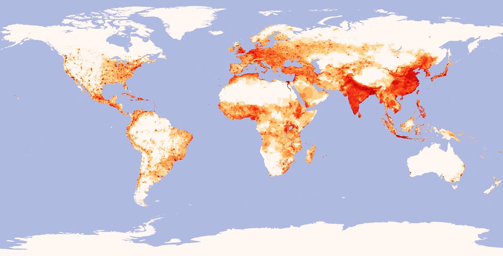
Population Density Map: Population Density maps shows the population dense area.

Vegetation Map: Vegetation maps display different types of vegetation. Normally remote sensing is used to create this type of map.

Land Cover Map: Land Cover map shows different features present in the area. It might have road structure, city foot prints, vegetation and more. Remote sensing is heavily used to produce these type of map.

Slope Map: GIS tools are normally used to create this type of map where map display the sloppiness of the area. Slope value is shown in percentage or in angle.
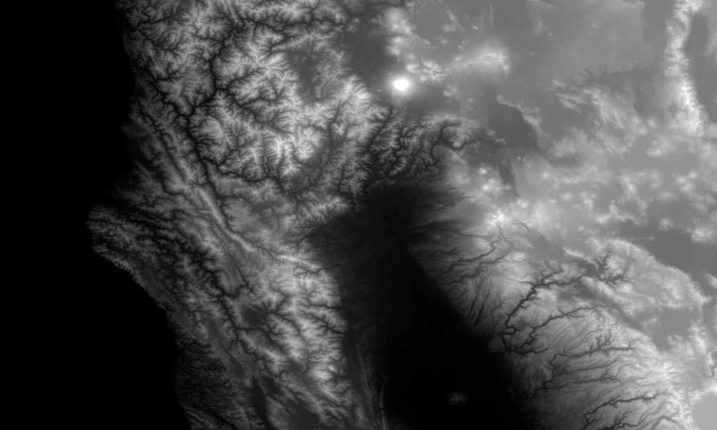
DEM Map: Digital Elevation Model map which is in a raster format that has the Z value or height information.
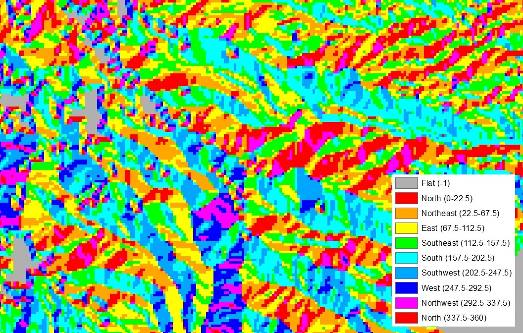
Aspect Map: Aspect map shows the direction that topographic slope faces. Normally they are measured in degrees from north.

TIN Map: Triangulated Irregular Network, which display the elevation values using non overlapping triangles.

Precipitation Map: It shows the amount of the rainfall in the area.
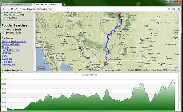
Elevation Profile Map: Elevation Profile map shows the change in the z values with respect to distance.
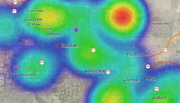
Hot Spot Map: Hot Spot map shows the density value in the particular area. For example it might be used by crime analyst to show the major crime area.

Watersheds Map: It display area of the land that divides waters flowing to different rivers, basins, or seas.
Conclusions:
Special Purpose Maps are created for the special purpose. Nevertheless you can add other related information on the map to add value to it. Like watersheds maps can have road network which will add value while you are designing an irrigation system.


Bayanat
11 May 2022This blog explains What is Special Purpose Map. Definition in Geography is explained here.