Effective land use and facilities design require in-depth knowledge of the site’s physiography, hydrology, climate, human geography, and infrastructure. Before breaking ground, evaluate your long-term facility’s location, environmental conditions, and surrounding area. Engineers and project planners conduct site surveys for this information.
With modern GIS imagery and tools, we can now visualize scenery worldwide. GIS allows rapid, low-cost macro and micro study of a region. GIS provides a bird’s-eye view of a region, allowing us to see elements that might otherwise be unseen. Below are examples of how GIS may improve land-use maps. Here are some applications of GIS when it comes to land use mapping.
1. Flood damage estimation
Insurance companies can use GIS to help determine the dollar amount of property damage in a certain area, and local governments can use it to prove to the federal government that they require disaster relief assistance. Local authorities must first map out high-risk zones to assess the flood danger in an area. There is a good chance of accurately estimating the damage, and digital maps can display the results.
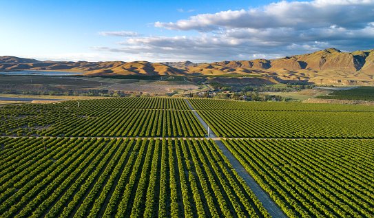
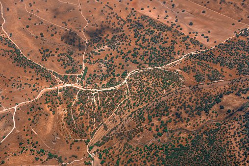
2. Determining land use and land cover changes
The term “land cover” refers to whatever hides the bare ground underneath. The term “land usage” refers to the portion of the earth’s surface devoted to a specific use. We can map out where and when land usage and cover changed thanks to GIS technology. We can also monitor and assess temporal shifts in land use and cover. It helps detect unexpected shifts in land use and land cover due to natural disasters or human actions like forest degradation.
3. Urban land Planning
With the help of GIS technology, we can track the spread of cities, determine where they should expand next, and plan accordingly. Land should have good accessibility, and the ground should be relatively level. Land should be vacant or have a low usage value currently, and land should have an adequate supply of water to be identified as ideal for urban growth.
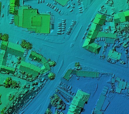
4. GIS in Mapping
Geographic information systems (GIS) collect information from a wide range of sources and show it mapped after storing it in a database. To better communicate, workers in various fields frequently utilize maps. You don’t have to be a professional cartographer to make your maps. One popular web-based GS option is Google Maps.
5. Transportation Planning
Transportation and logistics issues can be better handled using a GIS. When the transportation agency needs to map out a new highway or rail line, they can do it using GIS by entering environmental and topographical information. If you input criteria like “flattest path,” “least harm to habitats,” and “least disruption to local people,” it will quickly spit out the optimum route for transportation. GIS is also useful for keeping an eye on the state of railways and highways.
6. Soil Mapping
The information gleaned from a soil map is invaluable. It helps deduce whether or not a certain plot of land is suitable for a given set of activities. It’s crucial for avoiding land degradation and protecting the ecosystem. GIS Facilitates the classification of soils and the delineation of soil borders. Soil can be identified and categorized with its help. Farmers in developed countries frequently consult soil maps to preserve soil nutrients and maximize profits.
7. Land Information System
A GIS-based land acquisition management system will furnish exhaustive details on the property in question. Only in the last few years (maybe 3) has land acquisition management been applied. It would help keep tabs on land allotments, figure out who owns what, and solve problems relating to land acquisition more quickly.