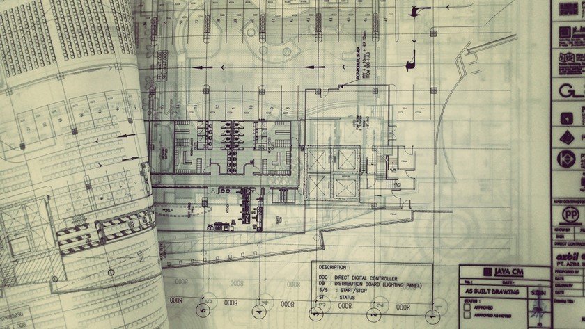
30 GIS Uses in Civil Engineering
(GIS)Geographical Information System is a system anticipated to capture, analyze, manipulate, store, manage and present every type of geographical data. The merging of cartography, database technology, and statistical analysis is…
6 Comments
September 2, 2018
