The technology continues to advance and it is used in several fields including agriculture. In the past, farmers had difficult work to increase farm inputs. The global positioning system has led to the development of farming. Its accuracy has made farmers use the tool for different purposes. Here are the applications of GPS in farming.
1. Harvesting
This technology has saved time for individuals who visit the farm to determine the time for harvest. The global positioning system shows the area that is ready for harvest. In addition to that, it gives farmers an idea of how the harvesting will be done. It approximates the land area and expected produce.
2. Control irrigation
When the land is big, crops will not be equally irritated. The global positioning system identifies crops that are irrigated and the ones not irrigated. It helps a farmer to reach out to all the crops in the field.
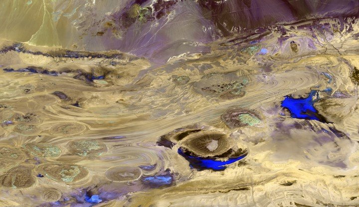
3. Examine the availability of water
Water is an essential factor in agriculture. This tool assesses water sources such as rivers, dams, canals, and lakes.
4. Identify unsuitable locations
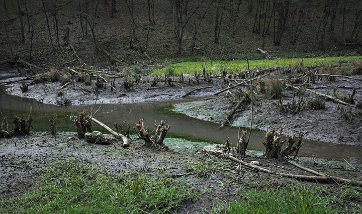
Unsuitable areas include swampy or waterlogged. These places are not ideal for particular crops and it is important to locate. Additionally, the areas cannot be identified accurately by bare eyes until you introduce technology. GPS is a major tool used for this purpose.
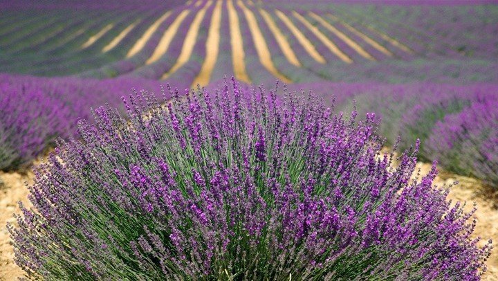
5. Sample soil
Soil sampling is a key factor to increase in production. GPS shows the type of soil in the land thus the farmer can select suitable crops before planting.
6. Scout crops
Different types of soil support various crops. This means, that the type of soil affects the quality of crops. The technology maps a field and gives information about the crops available. Scouting crops tell experts the nature of crops and how to improve yields.
7. Categorize areas
A big farm can have different types of characteristics. These features include the type of soil, terrain maps, swampy and waterlogged area. The global positioning system is an advanced told that gives accurate information of the land. You will understand where to plant several crops. Ds
8. Identify weeds
Weeds must be removed from the crops because they lower yields. Besides that, weeds compete with crops for nutrients and water. They may end up getting all nutrients in the soil thus affect the quality and quantity of harvest. Spraying weeds may not be effective seeing that some can be left behind. GPS indicates if there are things that hinder crops from growing.
9. Control pesticides
Water pollution has become a common cause of diseases in the present world. Spraying of a large number of pesticides can result in the pollution of environmental resources such as water. GPS ensures the number of herbicides sprayed is correct according to the capacity.
10. Climate changes
Crops do well in different types of climate. Farmers need to know the climate of a place before they carry out their activities. The global positioning system tells the climate patterns of a location.
11. Guide tractor
GPS guides tractor when preparing land for planting. This helps to save time and make work easier.
12. Locate machines
Farmers are now able to locate equipment without going to the land physically. On top of that, GPS users know the precise location of the machinery.


