The development of precision agriculture is possible because of combining geographic information and global positioning system. It is changing the perspectives of farmers on the land. GPS is an affordable method to improve farm products. Here are the applications of GPS on agriculture.
1. Farm planning
It is used to plan the farm before planting. GPS provides the total size of an area as well as tells the type of to be planted on a specific part. This is achieved by knowing the characteristics of crops and soil.
2. Scouting crops
The global positioning system gives an accurate map of a place while scouting crops grown in an area. Professionals can know the nature and kind of crops which are suitable for a particular environment. They can improve the crop’s quality.
3. Mapping yields
GPS can tell the yields of the farm after crops are planted are ready for harvest. It is done through aerial mapping. Experts know the number of yields available in the place.
4. Sample soil

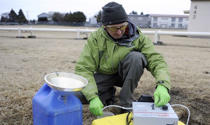
GPS is commonly used for sampling soil. Farmers know the benefits of determining the kind of soil. This helps to get knowledge of crops to be planted on a particular farm.
5. Locate weeds
Weed affects efficient growth through competing nutrients and water. Also, some weeds act as hosts for pests. GPS locate weeds in lands through linear sampling techniques.
6. Determine to harvest
GPS plays a vital role in determining the part of the farm which is ready to harvest and how it will take place. It gives the size to be harvested and expected returns.
7. Control pollution of chemicals
Excessive herbicides and pesticides cause pollution. When it rains, the chemicals are washed to water areas and endanger water animals and plants. GPS controls the number of chemicals to be used. It allows the soil to suck all herbicide thus lowers runoff.
8. Guide tractor
Technology has changed and farms use machinery like tractors. GPS direct machines to know the direction and spacing of the seed.
9. Develop tools
Manufacturers use GPS to develop many tools. The equipment helps farmer’s products to be productive and improve farming activities. Most farmers use GPS items to enhance agribusiness.
10. Map water bodies
GPS can be used to map water bodies or the availability of water in a location. It singles out water sources like canals and rivers. Besides that, it identifies swampy and waterlogged places that are not ideal for specific types of crops. You will know suitable locations for crops and unsuitable ones.
11. Locate irrigation systems

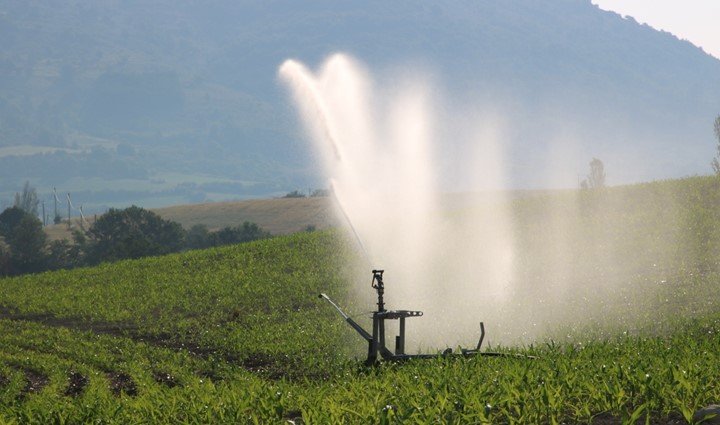
It locates irrigation systems like canals and dams on land that needs irrigation. This helps farmers to avail the required amount of water needed for irrigation.
12. Identify suitable areas for cultivation
GPS identifies suitable areas for cultivation through aerial mapping. It determines the soil samples and their viability.
13. Eliminate human laborers
It eliminates human workers to do specific jobs like spraying. GPS prevents over-spraying hence maximizes effectiveness.
14. Work in all conditions
Through GPS, farmers can now work in all conditions such as fog, dust, rain, and still increase productivity.
15. Accurate planting
GPS is connected with the planning of planting. Seeds are different hence they need specific depth and spacing basing on the type of soil. GPS tells the required amount of spacing and depth required. Through this, farmers can maximize yields.


Jerome Whitehead
9 May 2023Recent events have resulted in damage to some stakes and the displacement of others, which has made it difficult to establish the depth of mines. basket random