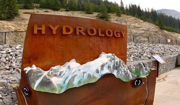
A geographic information system is an important and useful tool in the hydrology sector. It helps to study as well as manage water resources on earth. Water resources have great demand hence need knowledgeable disposition. In addition to that, GIS is useful for practical since water occurs temporally and spatially through the hydrologic cycle. GIS platform is increasing and extending the gap between hydrology and historical data. Here are the applications of GIS in hydrology.
1. Solving problems
The geographic information system has resulted in powerful effects on research techniques. Its ability to capture, store, and analyze data has captured several attention. Water resources serve as a multidisciplinary sector hence needs analyzing data using distinct spatial resolutions. Henceforth, a geographic information system is utilized to solve problems in water resources.
2. Monitor groundwater
Groundwater sources are dynamic and they grow through expansion of industrialization, irrigation, and urbanization. It is crucial to determine water lying beneath the ground. Also, it is difficult to monitor as well as conserve the vital resource. GIS is a great tool which assesses, monitor, and conserve groundwater. It provides information on parameters that control movement and occurrence of groundwater resources.
3. Target zones
A visual interpretation has served as a major tool for assessing groundwater resources. GIS helps to target zones for exploring groundwater. It selects potential sites with accuracy.
4. Prediction
The geographic information system is can be combined with field data to predict depth ranges. It gives information kinds of wells suitable for various terrains in domains.
5. Runoff computations
Runoff is the draining or flowing of rainwater from catchment location through channel surface. It is one of the most hydrology variables which is utilized. It is done when shaping rivers, planning reservoirs, and controlling floods. Hydrology has a critical problem of predicting catchment runoff. GIS helps to estimate surface runoff to give vital information when planning conservation measures. This lowers flooding hazards that cause sedimentation.
6. Estimate groundwater
Improvement of hydrology has incorporated better groundwater mechanisms. Gis is flexible and reliable when it comes to estimating groundwater. Gis based models are great for mapping and interpreting data. The tools evaluate residential areas to keep wells off from drying thus limiting stress.
7. Estimate precipitation
Precipitation is the water from the cloud in the form of snow, rain, hail, and sleet. Besides that, it is a primary source of the earth’s freshwater supply. To assess this, the geographic information system is needed to provide accurate data. The tool is used to estimate precipitation.
8. Evaluate soil moisture content
Soil moisture content is a basic parameter for studying sustainable management of water in rural and urban areas. GIS evaluates soil moisture content.
9. Modeling
The geographic information system has played a significant in modeling. Hydrology modeling cannot be performed effectively without introducing GIS. This is because the tool can manage a great amount of attribute and spatial data. The procedure is accurate and fast. It involves the use of empirical formula, available curves, and tables.
10. Identifying Water harvesting sites
Water harvesting has become common in arid and semi-arid places. It acts as a water source for various purposes including streams, springs, and wells. Recently, the geographic information system has contributed to identifying sites for harvesting water.