The global positioning system has transformed how the world operates today. It can be applied in almost all areas of aquaculture. Commercial fishing must include GPS for efficient work. Fishers can now look better for modern uses of the tool. This includes combining it with a computer-based system called GIS to input and store data. Here are the applications of GPS in fisheries.
1. Determine location
GPS is a welcome necessity for fisheries. The network satellite is designed to pinpoint the precise location as well as time. The marine global positioning system unit helps you to determine the accurate location and move to the correct destination.
2. Avoid getting lost
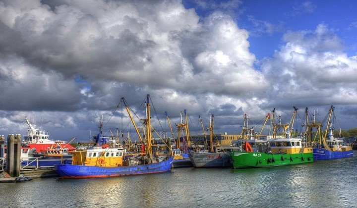
Most commercial fishing takes place on large water bodies like the ocean or lakes with many inlets. It is impossible to get lost in the sea because you are not familiar with sea routes. With the Global positioning system, you will be able to sail in the ocean easily and get to your destination.
3. Plan voyage
It is important to plan your journey before the exact date. For this reason, you will be able to prevent or deal with any inconveniences on the way. A global positioning system is essential for planning boating trips as well as save lives. Also, it is helpful in case the boat gets damaged in the sea. You will have to communicate to get help. Without GPS, you will end up wandering in the ocean and waiting for other boats. What if you do not see the boat? This tool will save your life.
4. Prevent accidents
Besides being useful in trips, GPS will prevent collisions and other accidents which can be caused by ship damage or injuries to boaters.
5. Tracking
United States Coast Guard uses GPS units to track ships that move on the coastline. It offers data on the direction in which the vessel is heading. In addition to that, the data collected serves as communication with other vessels thus gives the accurate location and proper routes to be followed. Therefore, all boaters can reach the destination.
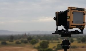
6. Find fish
GPS fishfinder units are significant when it comes to displaying where the fish are located. It has inbuilt features such as maps of coastlines, rivers, and lakes as well as the resolution of nautical miles. You can purchase the one with the Omni-directional antenna. Moreover, some models are set to be used on freshwater while others are for a salty water environment, both can show the water temperature.
7. Locate hidden
Some GPS fishfinder has sonar, LCD screens, and mapping GPS units that show fish hiding in rocks and weeds. It also displays fish that have the same color as rocks. Further, you can track to see objects below water bodies.
8. Map distribution of fish
The global positioning system displays the distribution of fish. You will locate where fish are scarcely and densely populated.
9. Monitor shorelines
The tool helps to monitor shoreline and detect any changes. This will help to change direction in case of an emergency.
10. Pollution
GPS monitors surface water objects including inorganic pollutants, organic pollutants, heavy metals, and physical indicators. Polluted water is not suitable for fishing because it can result in diseases.
11. Map suitable habitats
Every fisherman desires to get plenty when visiting the sea. GPS enables them to map suitable fishing spots. Henceforth, you will avoid moving in the sea for hours without having a catch.