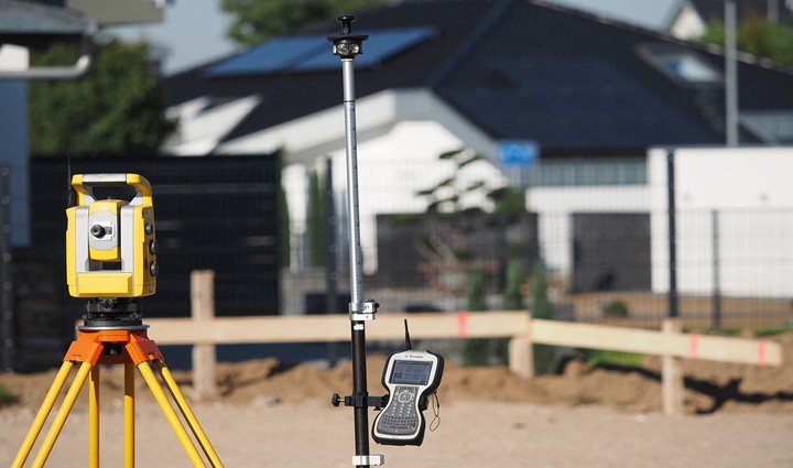
Land surveying is a profession or a technique for determining 3d points, distances, and angles. These points or positions are usually on the earth’s surface for establishing boundaries or maps for ownership. Besides, land surveyors use tools such as GIS, GPS, drones, total stations, 3Dscanners, digital levers, and surveying software. GPS stands for global positioning system and it’s very important when it comes to land surveying.
Almost all surveying tools come integrated with a GPS. This allows surveys to complete tasks easily and fast. Besides, GPS provides the most accurate survey data compared to all other systems.
1. Determining a position
GPS tools such as static GPS baseline and real-time kinematic are used to determine coordinates that help surveyors to mark positions. Without GPS positioning would be very difficult. Tools such as the total stations can be incorporated with the GPS to help in positioning. However, a clear sky is requisite for GPS to operate well.
2. Navigation
GPS is the most important system when it comes to navigation. Surveyors use GPS as they navigate to different new places. It helps to identify the shortest and accurate routes to the provided places. It’s very hard to navigate in a new place without a helper or a GPS.
3. Monitoring the movement of an object or a person
Using special GPS devices you can monitor the movement of an object or a person. Surveyors track movements when taking measurements so it is very important in this field. Tracking also helps the experts to determine distances without having to measure them manually. This makes their work much easier hence they can cover a large are faster.
4. Creating a map


