Applications of scale in Cartography
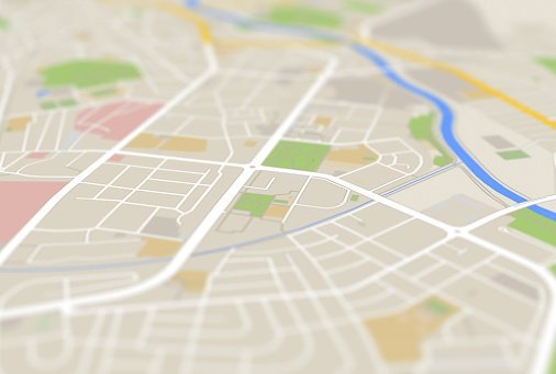
In cartography, a scale is the map distance ratio corresponding to the actual distance. The scale on the Map helps resize the exact distance so that it can fit in…
1 Comment
January 22, 2023

In cartography, a scale is the map distance ratio corresponding to the actual distance. The scale on the Map helps resize the exact distance so that it can fit in…
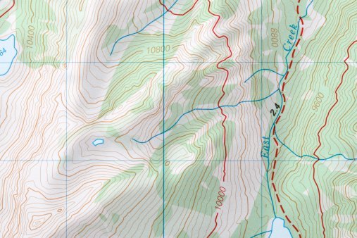
A contour is an imaginary line connecting two points with an equal elevation. Therefore, a contour map is a type of map that is made up of contour lines. Contour…

Google Maps is a remarkable tool on its own. Google Maps is a web-mapping platform that produces digital maps and real-time locations. On some devices, it is tapped into the…

Conformal mapping is a function in mathematics that deals with planes and complex analysis. This type of function preserves the angle between a curve and the points on a plane.…
A digital map is a type of map that is held in an electronic device. Digital maps are slowly replacing analog maps due to their accuracy levels in recording the…

GIS has traditionally been used for monitoring and studying wildlife habitats. Using a GIS, we can learn more about the planet and how its physical processes and characteristics influence human…
Tourism is travel for pleasure or business. It can also be described as the theory and practice of touring or the business of accommodating, entertaining, and attracting tourists. The GIS…
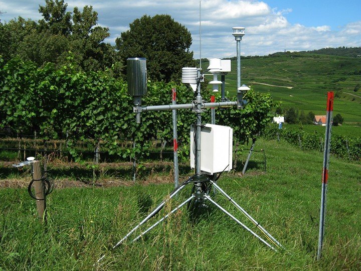
Weather forecasting involves the application of scientific principles and knowledge to predict the atmospheric conditions of a given location at a future time. It is made by collecting as much…
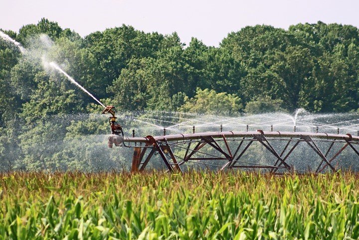
Irrigation is among the significant inputs contributing to efficient and sustainable agricultural production. Irrigation is necessary for arid areas with no rain or during periods of inadequate rainfall. Research shows…

Land cover includes forest, vegetation, soil, water bodies, grassland, and snow. Remote sensing is applied in land cover to provide a synoptic view and multi-temporal data for land use and…
