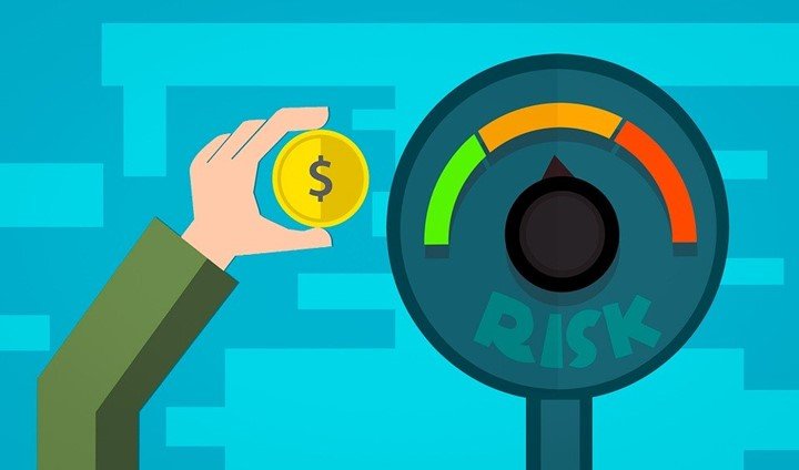
The geographic information system is a great component of insurance. Today, insurance companies can save more than 15% on insurance. This is easy because they have better ways to assess risk. Insurers can know location-based phenomena such as earthquakes, flood restoration, and hurricane cleanup. Dealing with risk is all about predicting the risk of the insurance industry and companies manage it better through GIS. Here are the top five applications of GIS in the insurance technology.
1. Analyze coverage of health insurance
Health insurance is required in many countries across the world. GIS is helpful to locate areas that have low rates of coverage or areas that are more likely to be at risk of not being covered. These factors affecting coverage include health, income, and age. One research shows that electronic health records or EHR locate uninsured people. Also, it is likely to show evidence of spatial components for uninsured patients to be near each other. However, increase access to insurance will not reduce the risk of getting diseases like thyroid cancer. This disease is most likely to be increased by environmental factors and socioeconomic.
2. Assess risk

Today, insurance industries have understood the benefits of introducing a geographic information system. The main chief advantage is using the tool to predict risk. An insurance industry categorizes parts in territories that can only be assessed with risks. The low premium is for locations with less risk. On the contrary, areas with high risks have high premiums. People who reside near the coastline with many hurricanes pay high premiums. Hurricanes are mapped and it will determine the future.
3. Detective work
Climate has become more destructive and less predictable on natural hazards like floods and droughts. For this reason, farmers are forced to adapt to situations. In such cases, crop insurance helps farmers to get income when the fields are not needed. A geological survey is working towards fighting crop insurance fraud. It uses Landsat red and infrared channels to measure vegetation growth. Crop insurance companies use GIS to catch fraud and verify seeded crops.
4. Assess suspicious behavior
Most people involved in fraud for personal gain. The geographic information system helps to address misinterpretation. It helps to assess suspicious behavior. Adding areas to fraud investigation techniques will allow analyzing behavior. Moreover, it identifies the location of the customer and understands where the fraud happened. The process involves compensating, restoring, and repayment. This proactive way to respond quickly and organized to people.
5. Analyze crowd data
People are linked online with a device from ground sensing to remote sensing. Many people across the world are sharing information from one place to another through the internet. Some report their experiences of events such as natural disasters as it happens. This information is important for the insurance industries. Insurers capture real hot spots event through social media. Whether it is floods, hurricanes, or earthquakes, true information will be available thus prevent misinterpretation. It adds clarity as well as helps to allocate resources and validate events. You can include user-contributed content on maps and GIS will show social media from the insured client.


